Road Trip

The Best of Eastern Oregon

Alvord desert Eastern oregon

The Best of Eastern Oregon

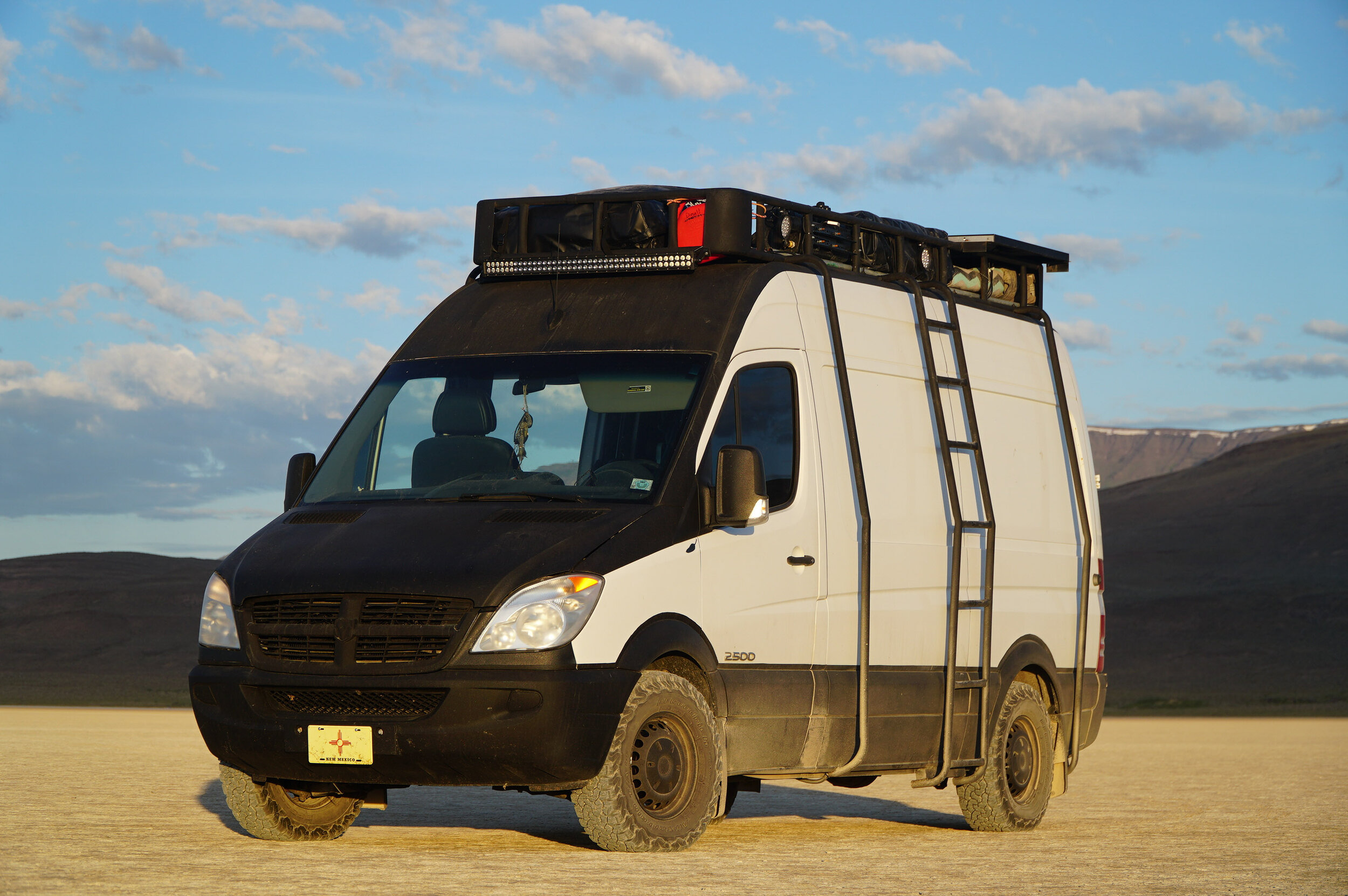
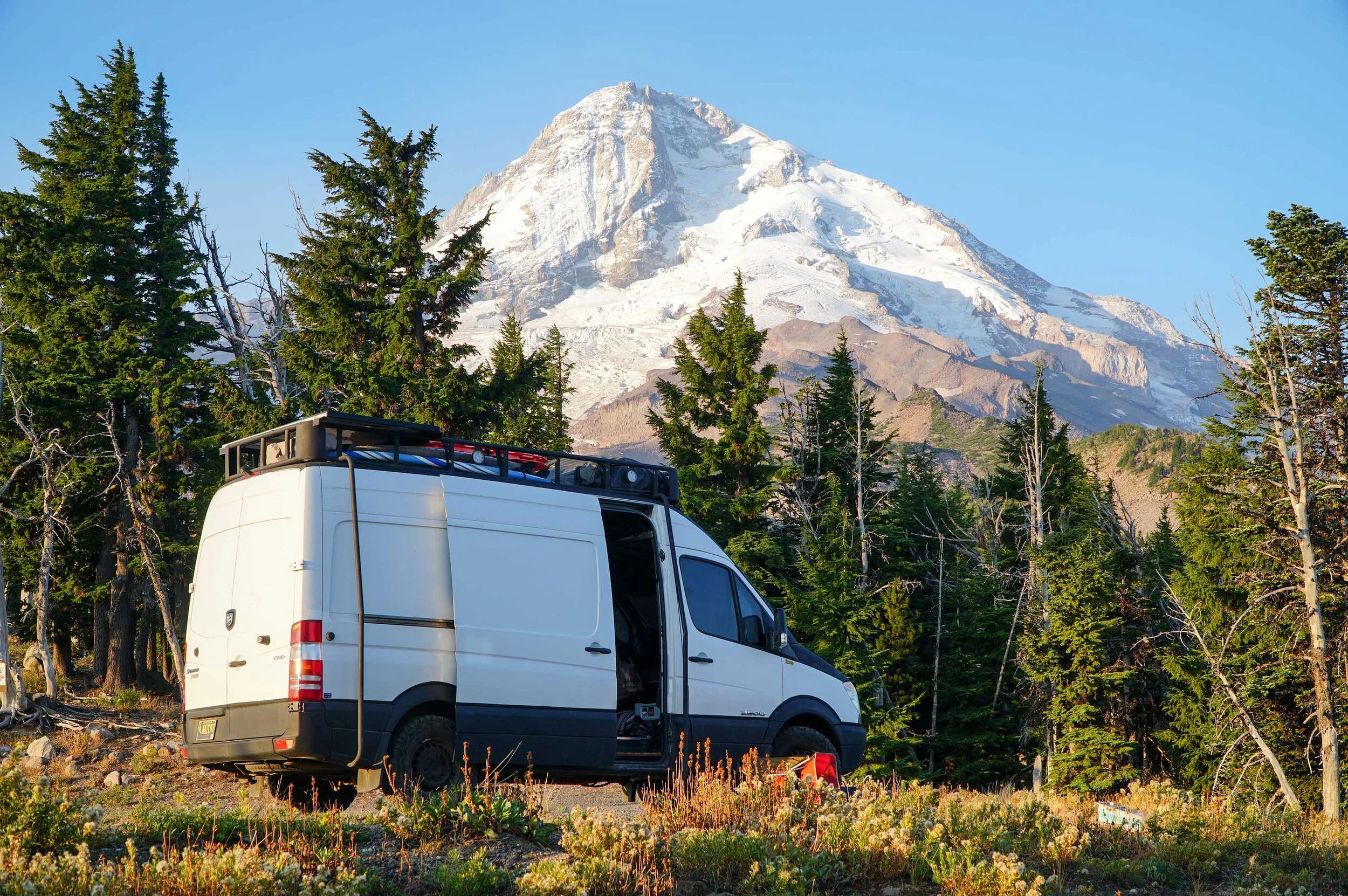
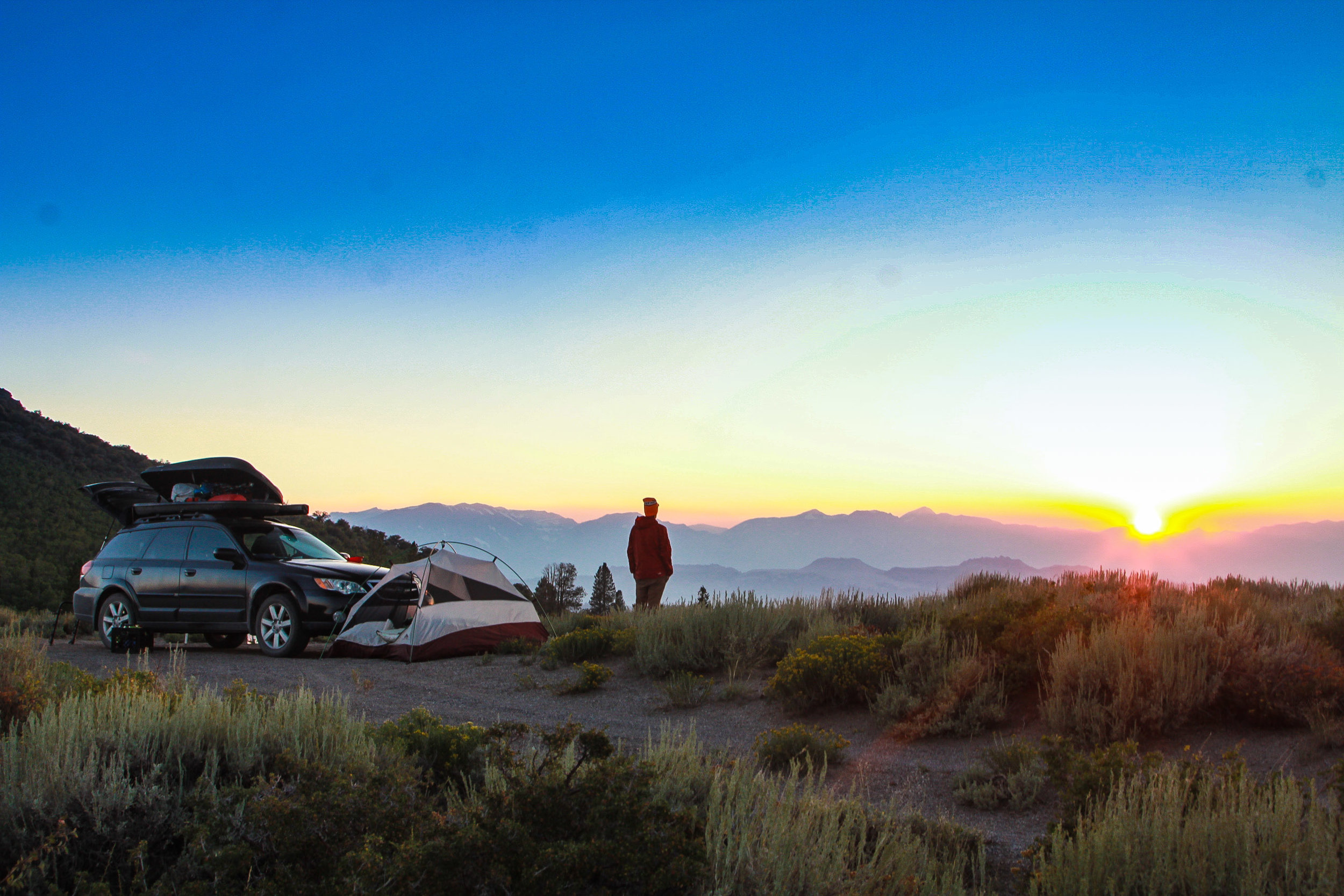
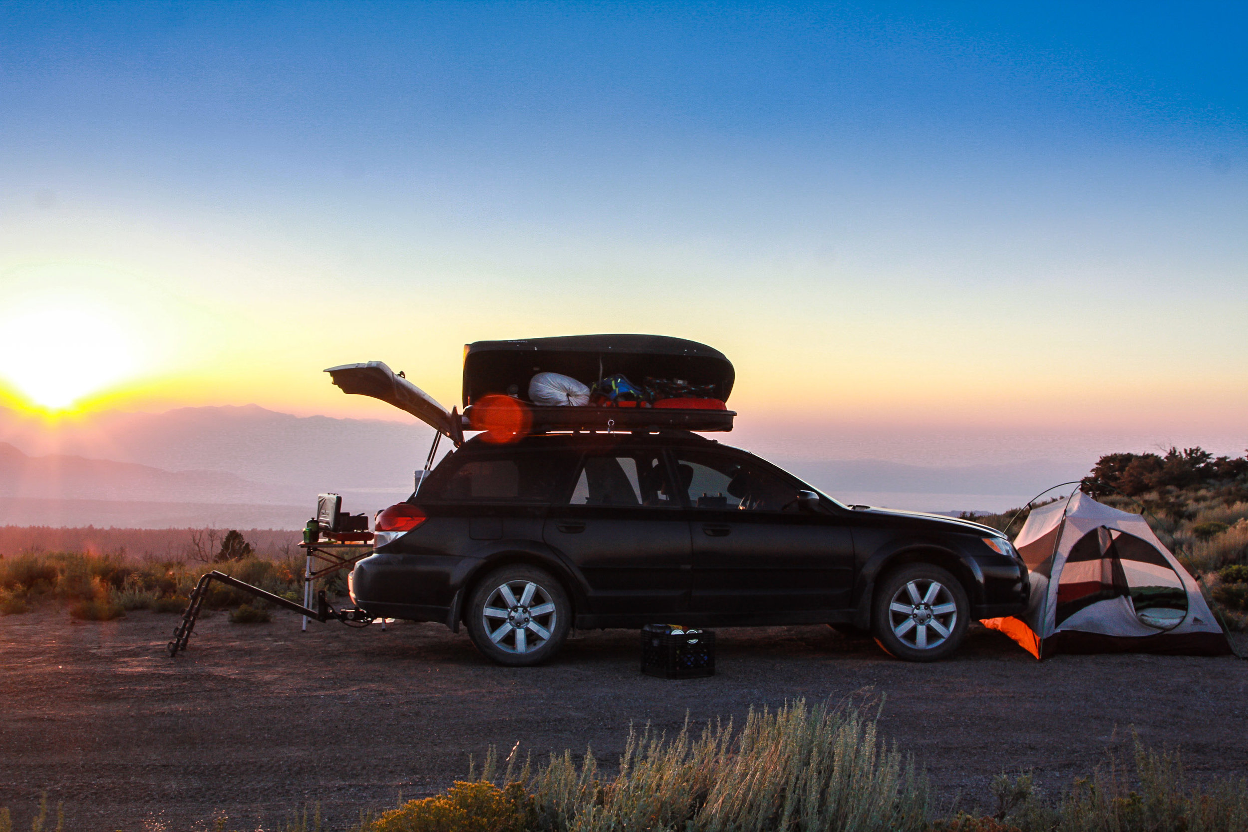
Bend, Oregon, is a van life hotspot.  With ample National Forest camping, just a few minutes’ drive from an adventure-driven town.  It’s easy to get sucked into the Bend, Oregon, vanlife vortex.  This is a great place to begin your Eastern Oregon road trip adventure.  There’s plenty to do in the Bend area and we have covered that in other blogs that you can see here.  Bend is also a great place to stock up on supplies and take care of all your errands before you embark on a journey that few van lifers have taken.  

This Road trip will take you through obscure Eastern Oregon terrain, from geothermal calderas, hot springs, giant holes in the earth, and ancient dry lake beds. This is a road trip off the beaten path that you will not want to miss.  

Newberry volcano hot springs oregon

Newberry Volcano - Hot Springs and Camping

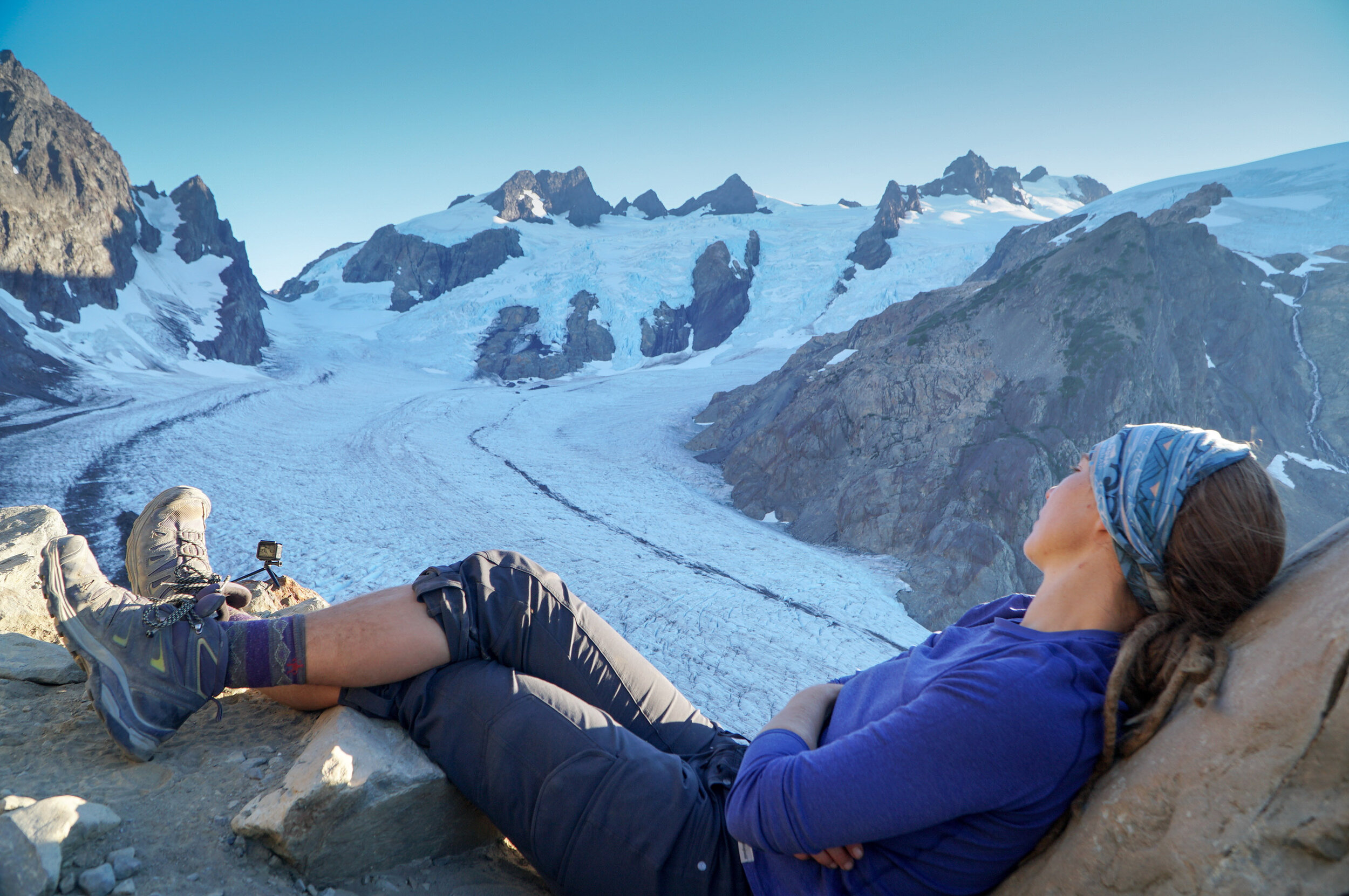
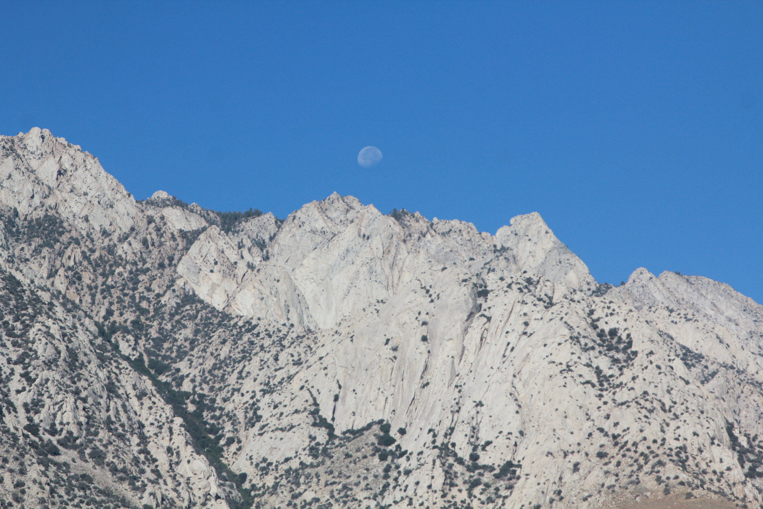
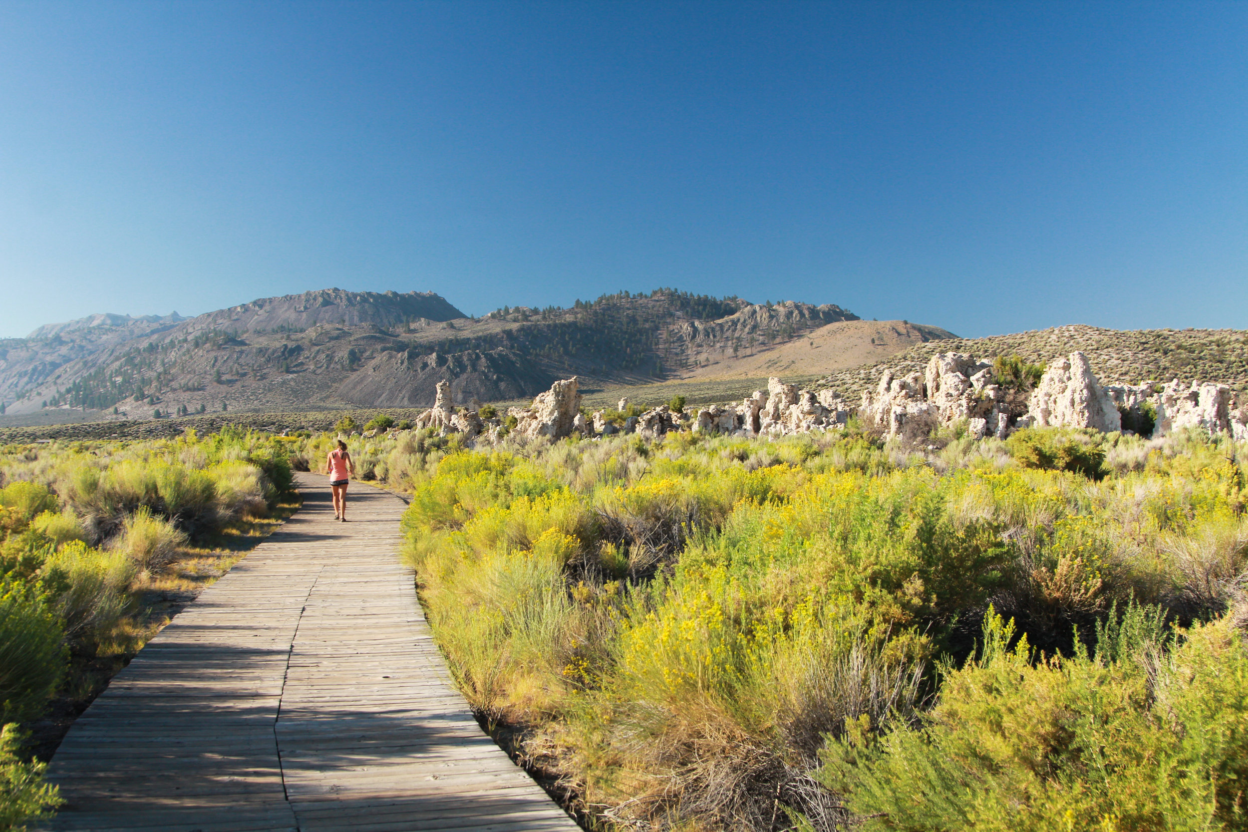
The Newberry Volcano is basically a mini Crater Lake with a fraction of the tourists.  You’ll find plenty to do at this National Volcanic Monument.  While we were here, we hiked along the north shore of Paulina Lake to Paulina Lake Hot Springs.  These were some pretty sweet primitive hot springs on the shore of the lake.  We were planning on paddling our SUP out to the hot springs, but the water was too rough for paddling. But, taking a watercraft to the springs is always an option.  We only spent the day here, but if you wanted to there is a very nice campsite on the Eastern shore of Paulina Lake.  Also, the Monument has plenty of hiking; you can also drive up to the top of Paulina Peak for an amazing view of the crater.  

Eastern Oregon Road Trip HOle in the ground (1 of 1).jpg

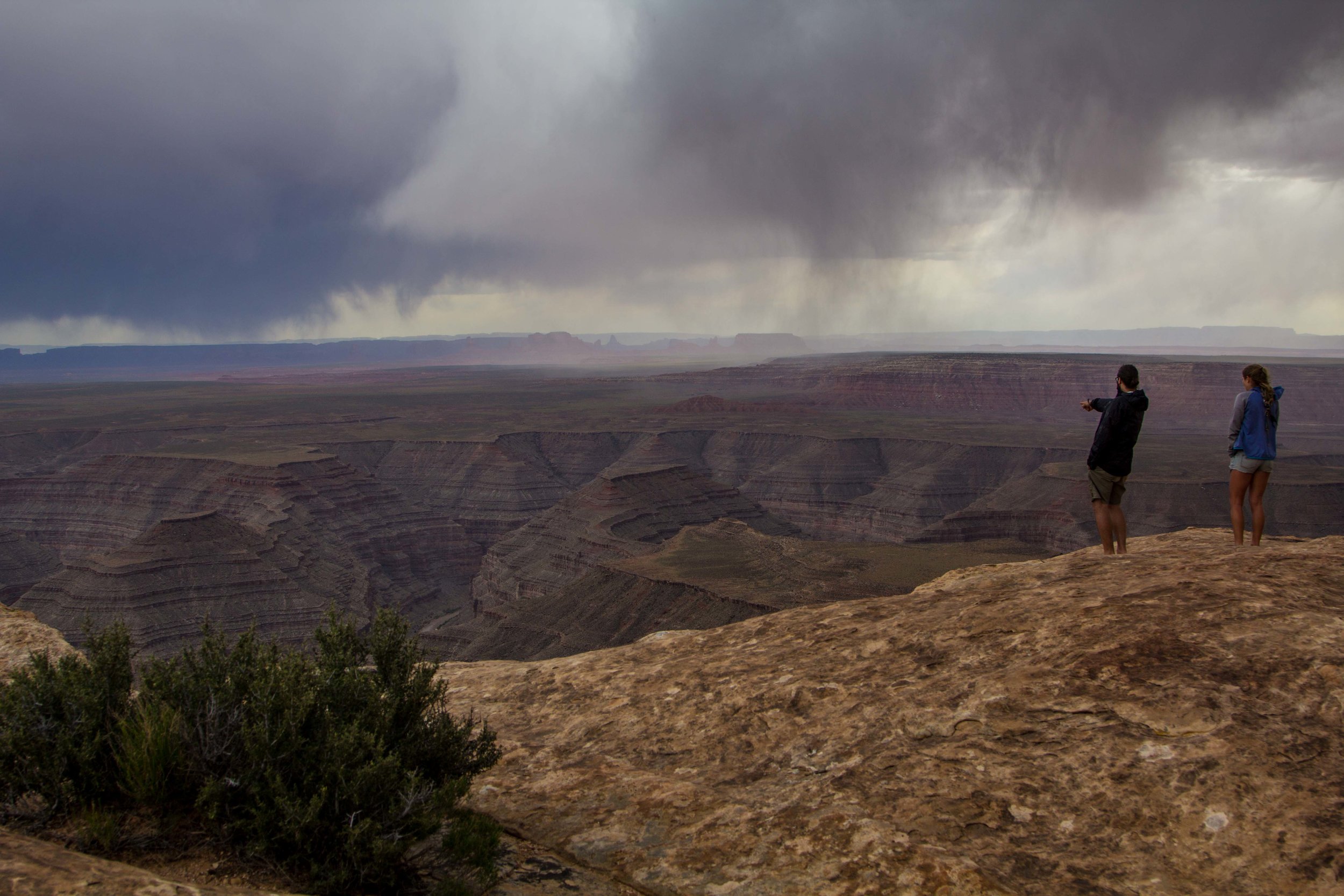
La Pine - Hole In the Ground/Free Camping

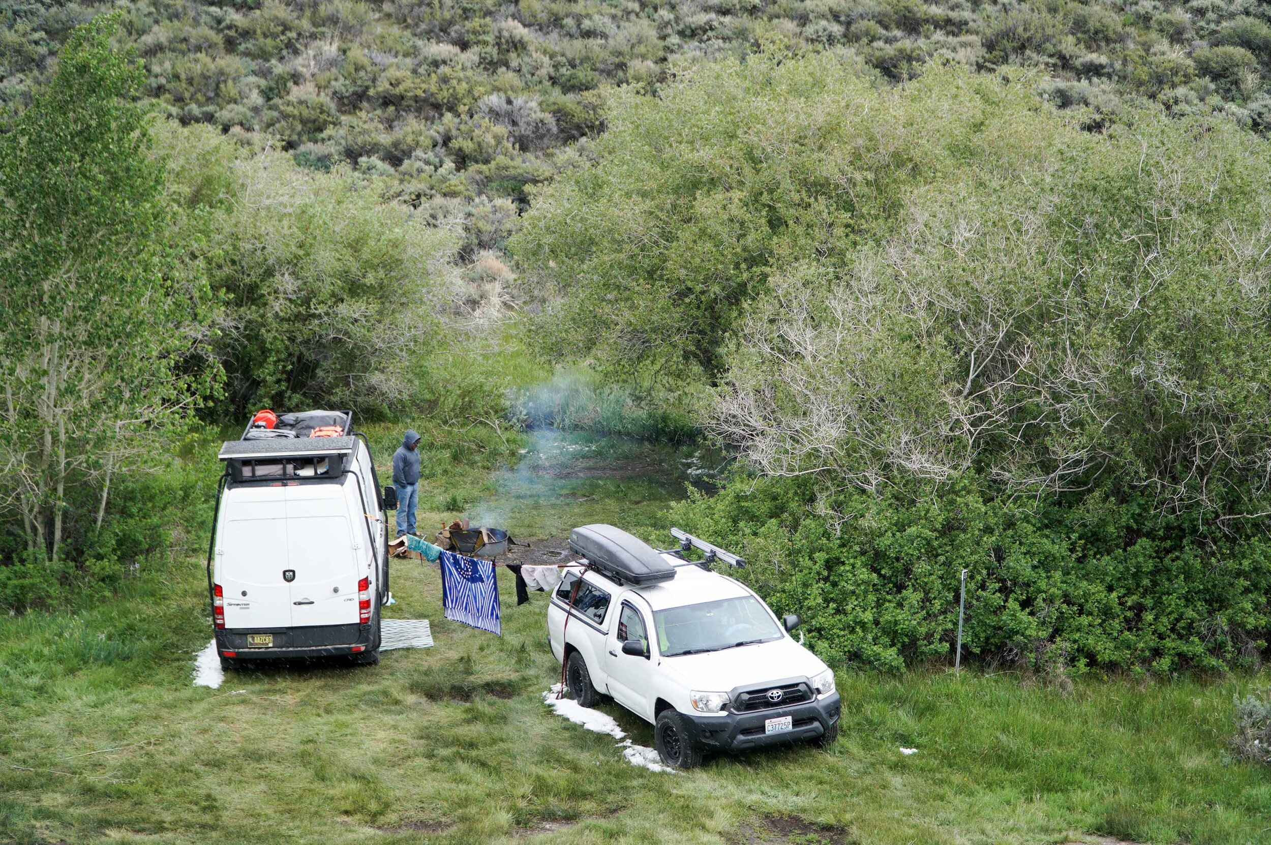
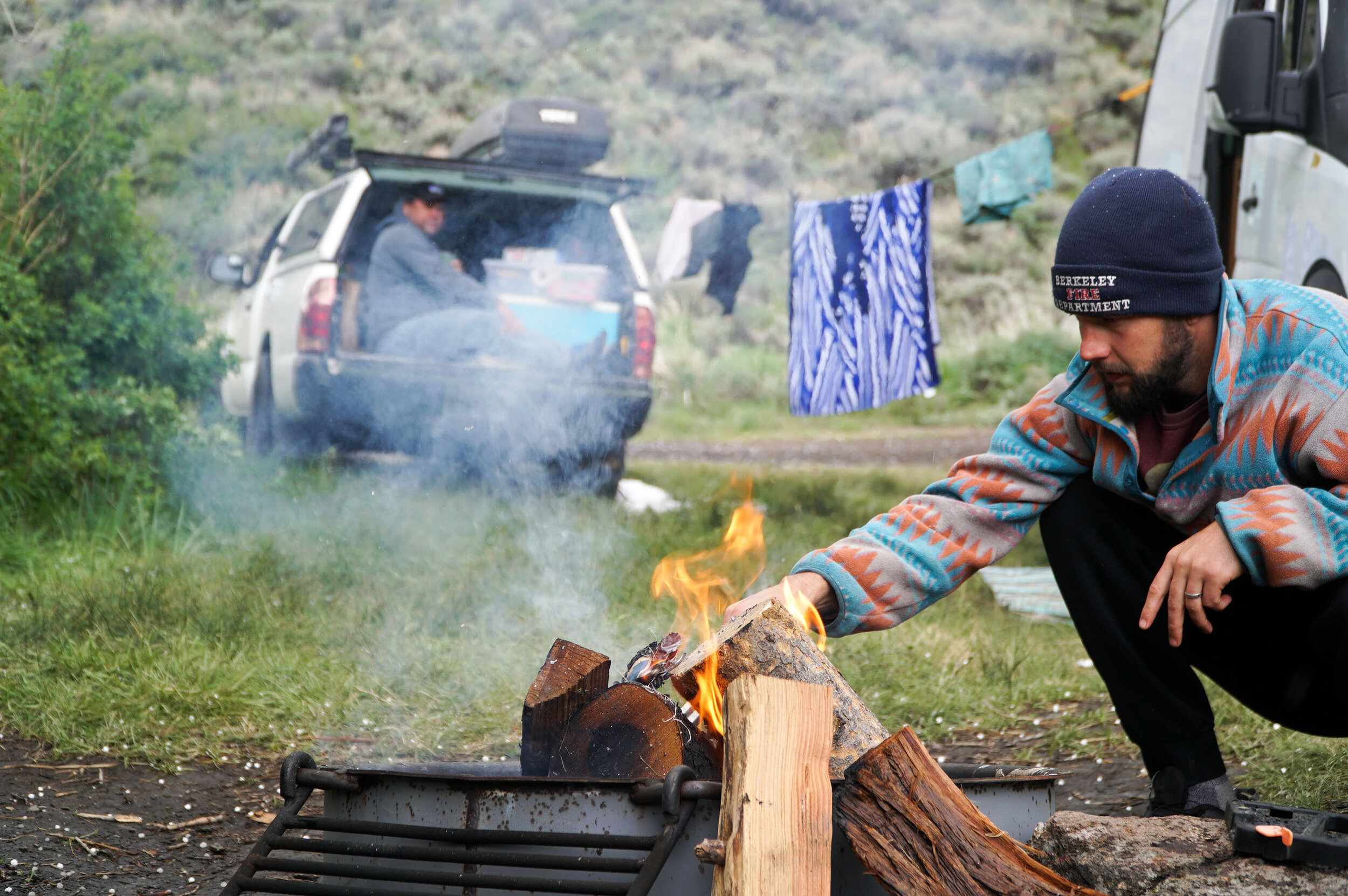
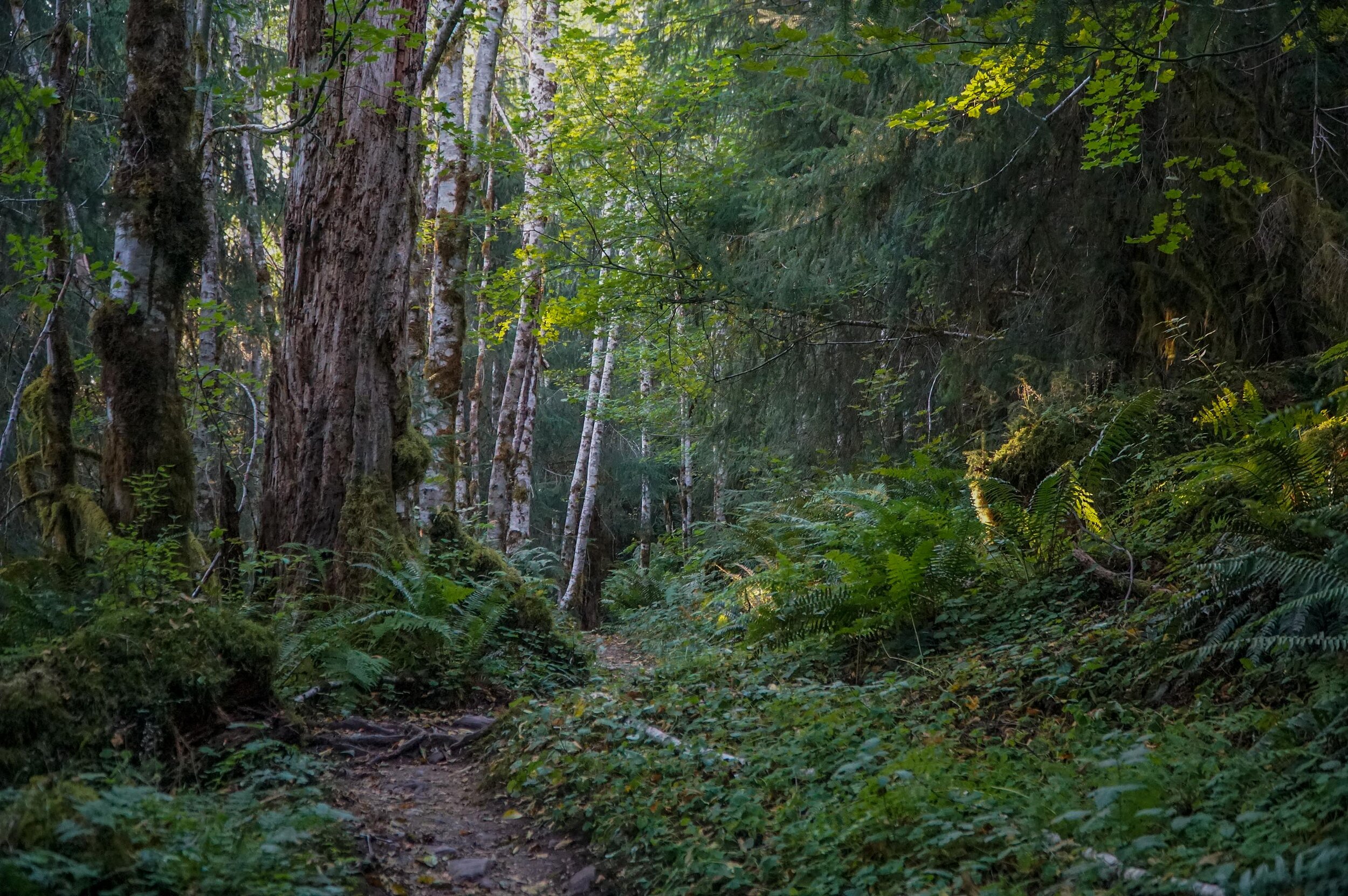
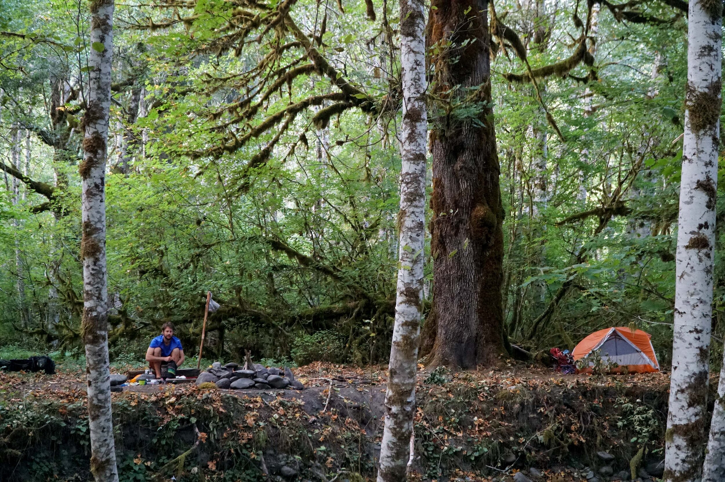
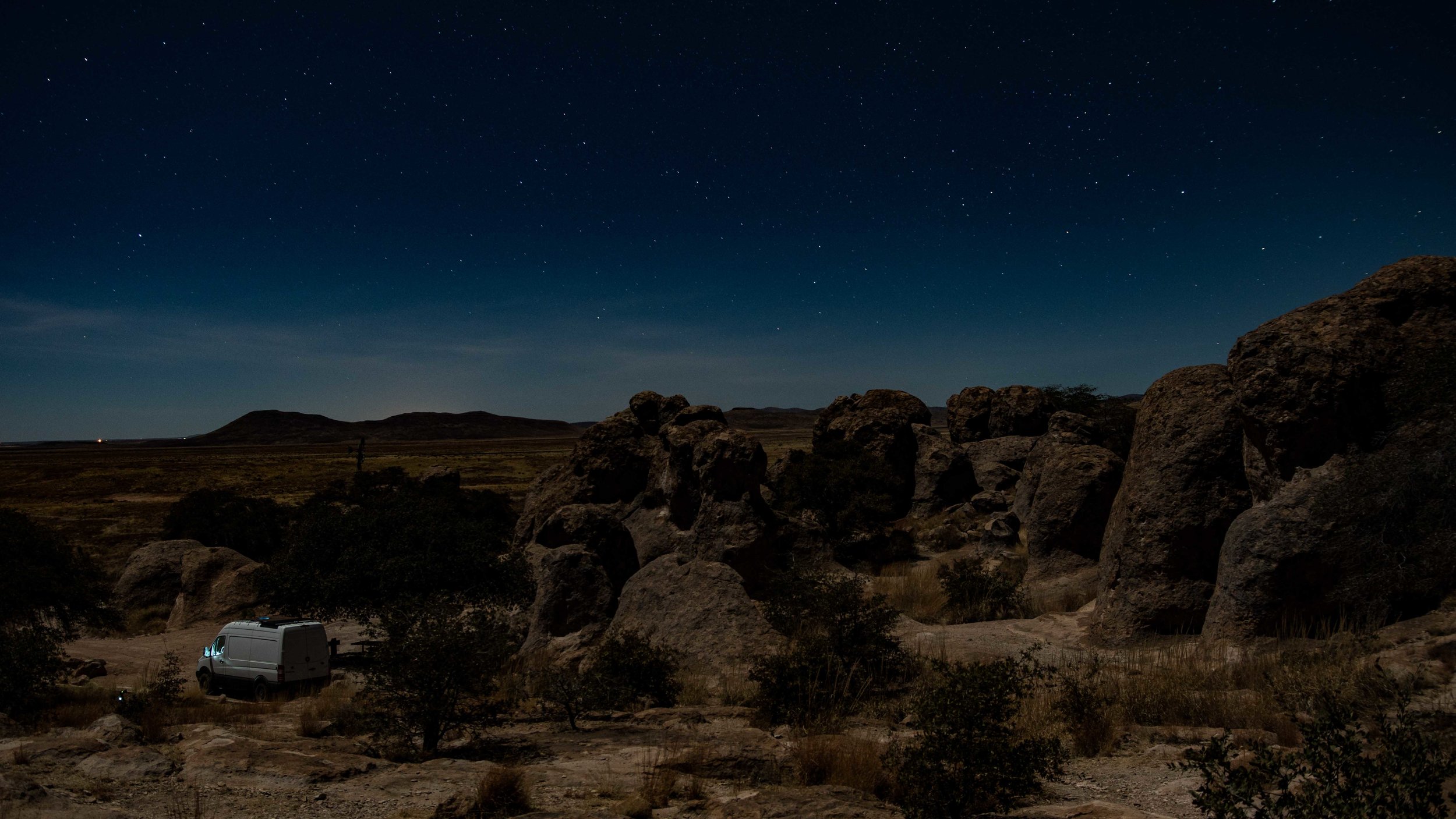
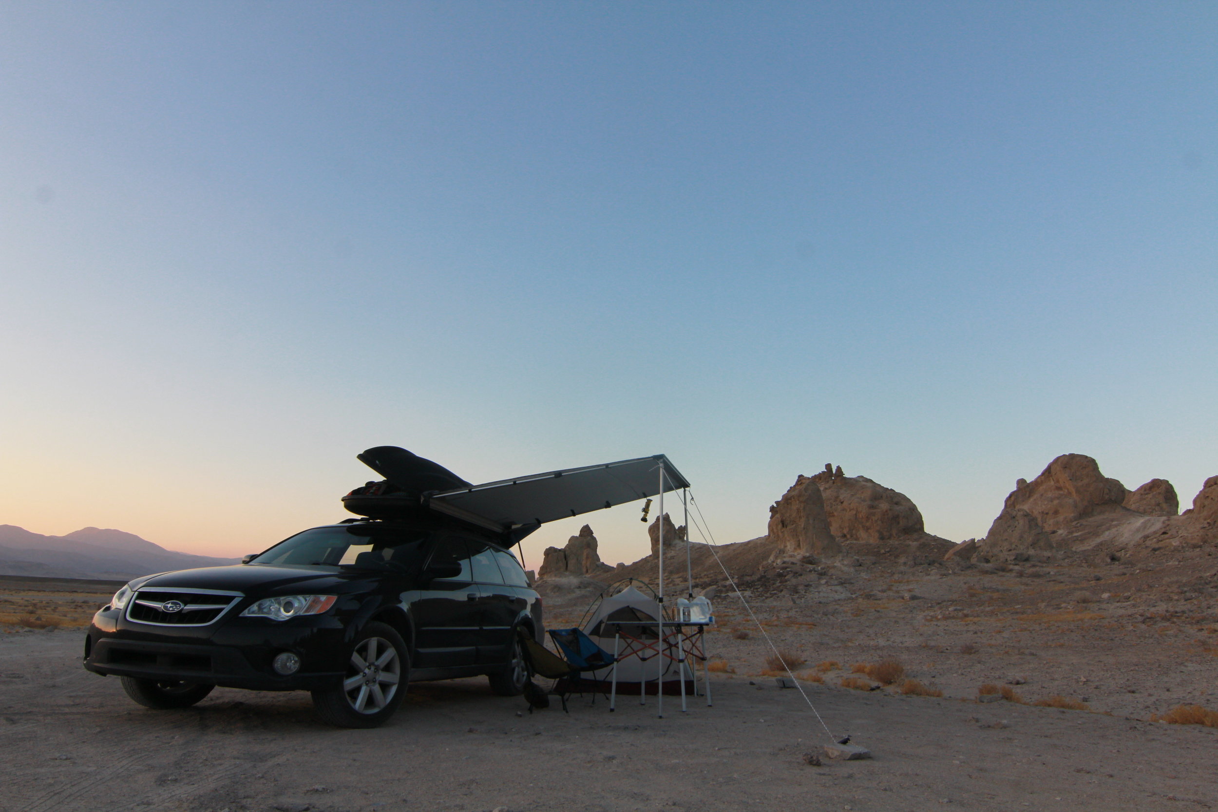
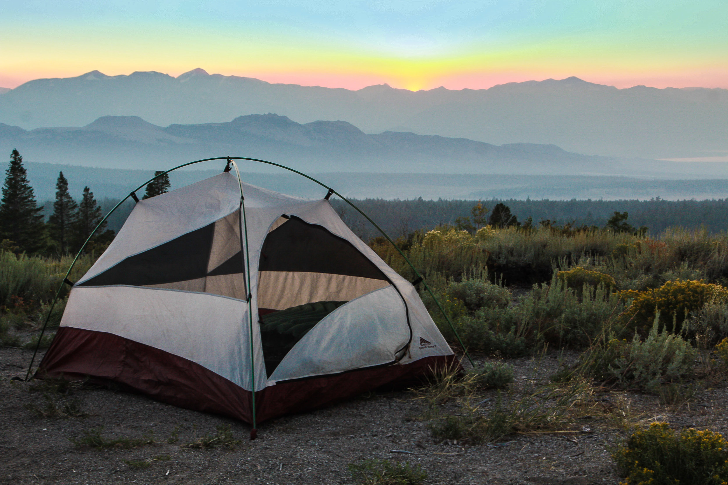
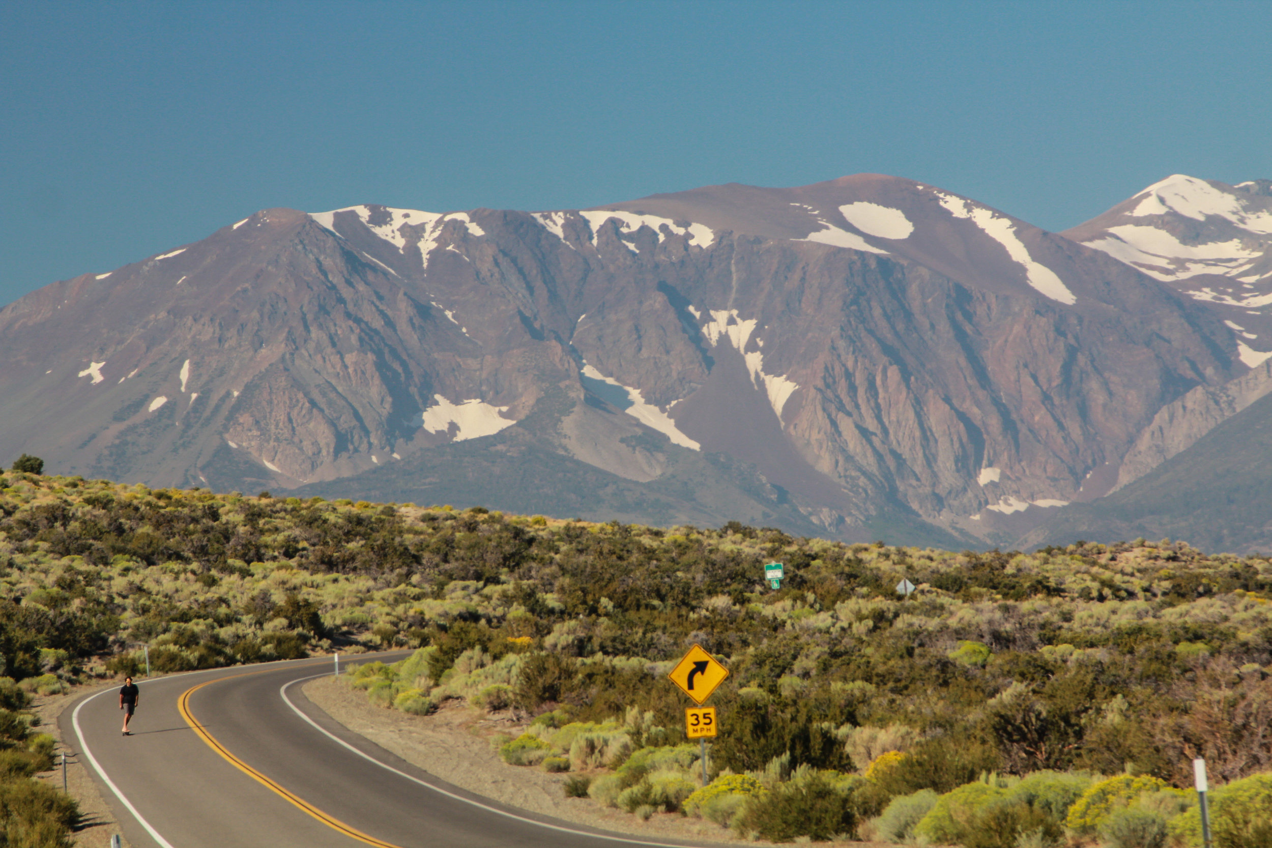
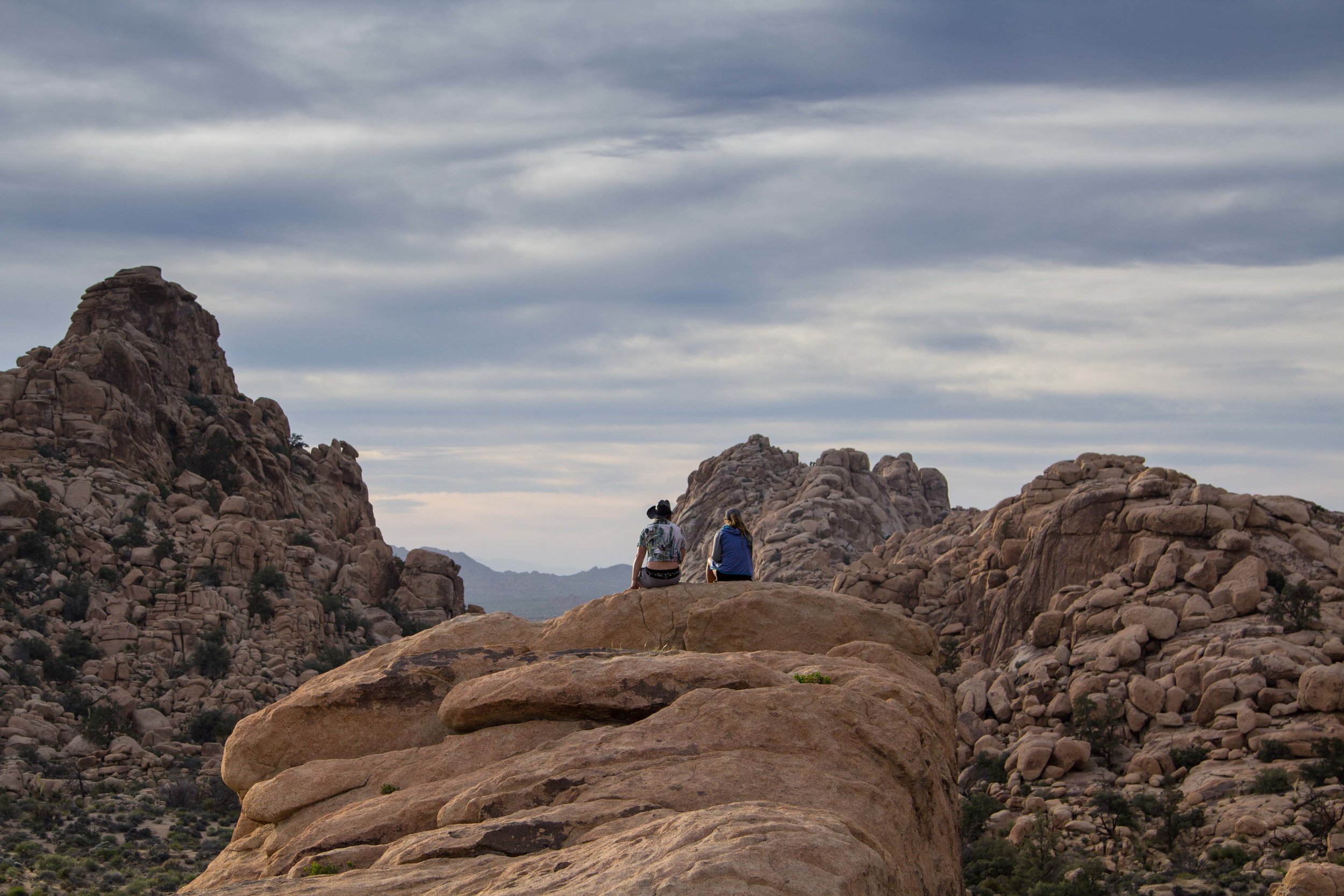
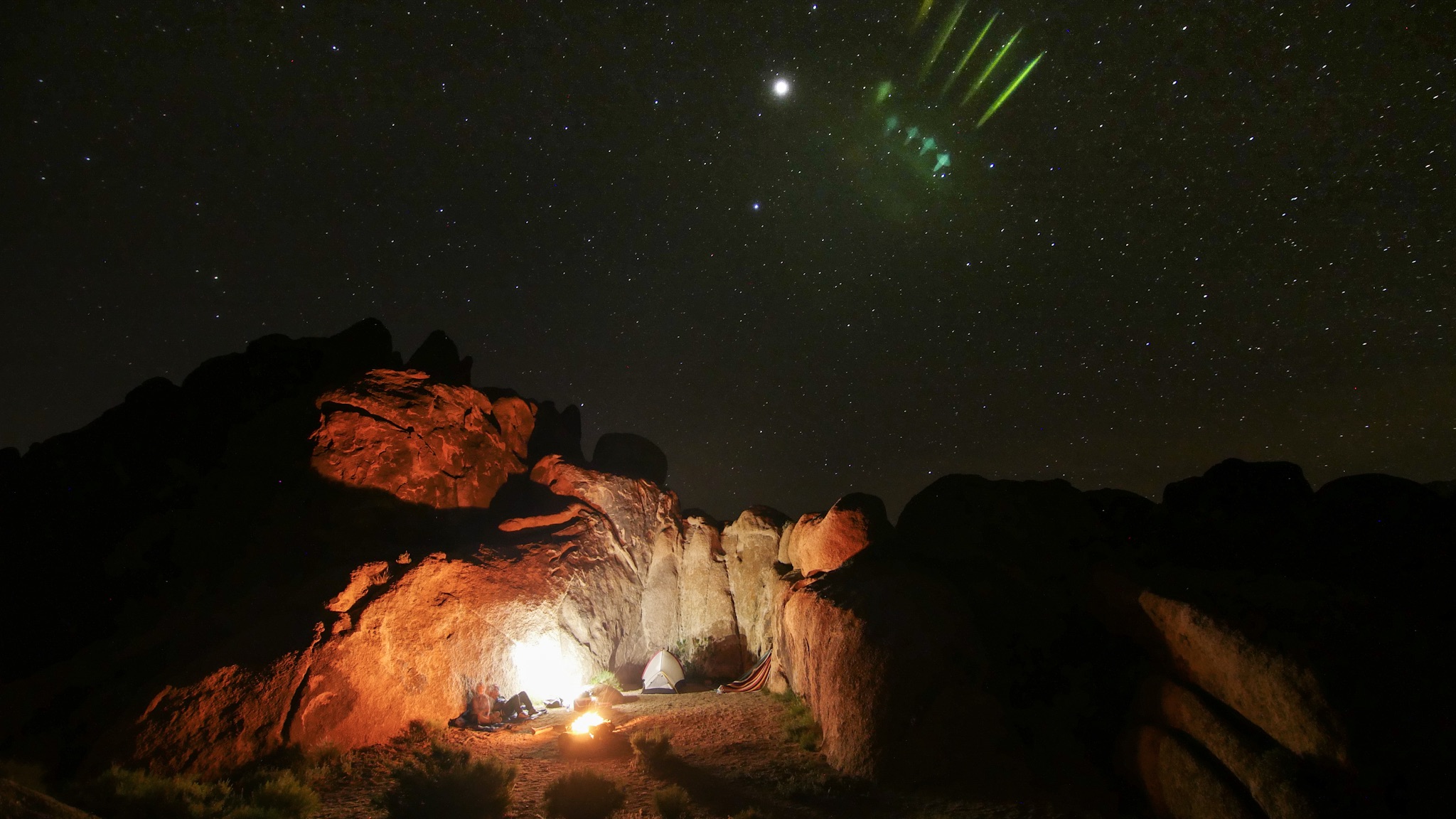
Drive South on the 97 through La Pine, Oregon, and make a right turn onto HWY 31 and head east.  You are now entering The Lonely Oregon Outback.  There’s not much to see out here but there’s plenty of solitude.  Drive a few miles down HWY 31 to the Hole in the Gound, while it’s just honestly a massive hole in the earth caused by a volcanic explosion.  The road in is rough but it’s not terrible and we’ve seen tons of vehicles make it up here.  This is also the location of Descend on Bend, a large van gathering.  We love this National Forest campsite and since we’ve been here a few times, we can tell you this is the best place for camping around the rim (43.403982, -121.200021).  We really enjoy the peace and quiet out here in the Oregon Outback and the night sky is just amazing since there is no light pollution around. 

Heart Mountain Hot Springs Eastern Oregon

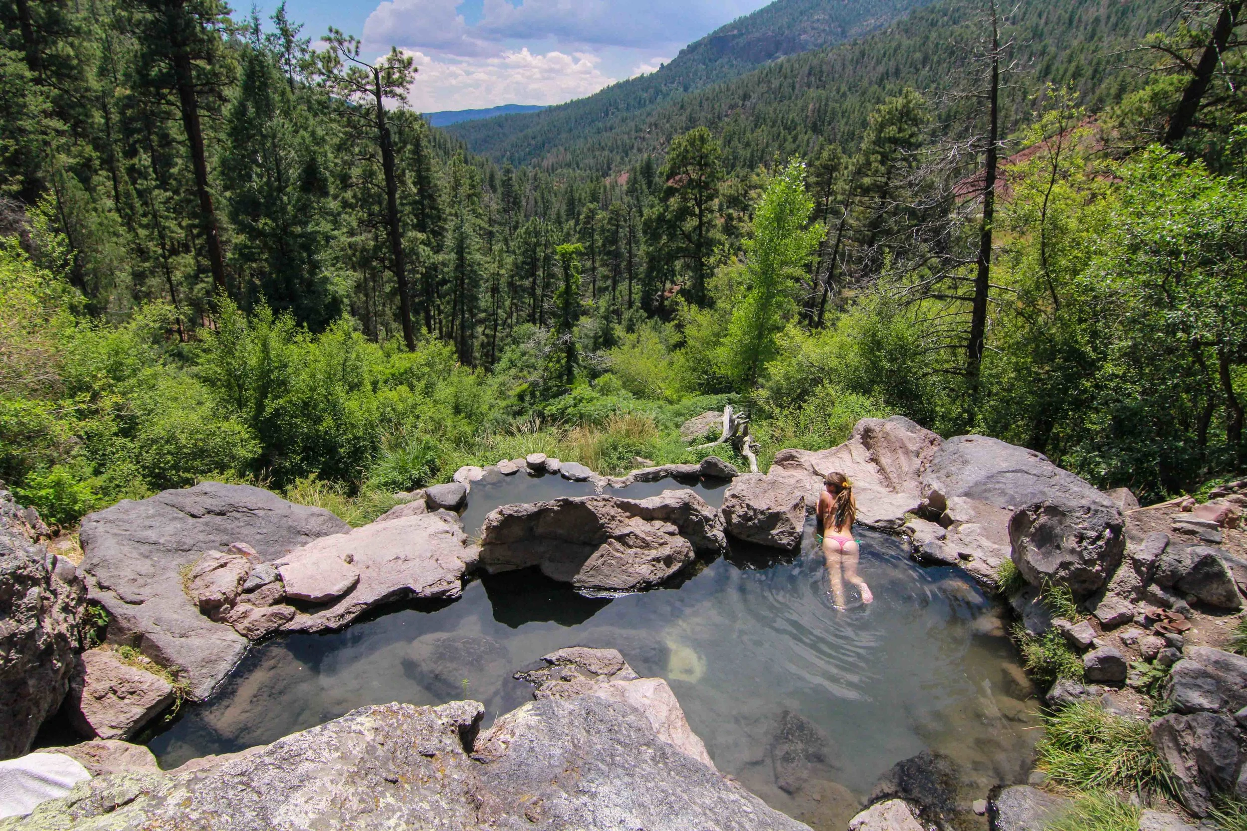
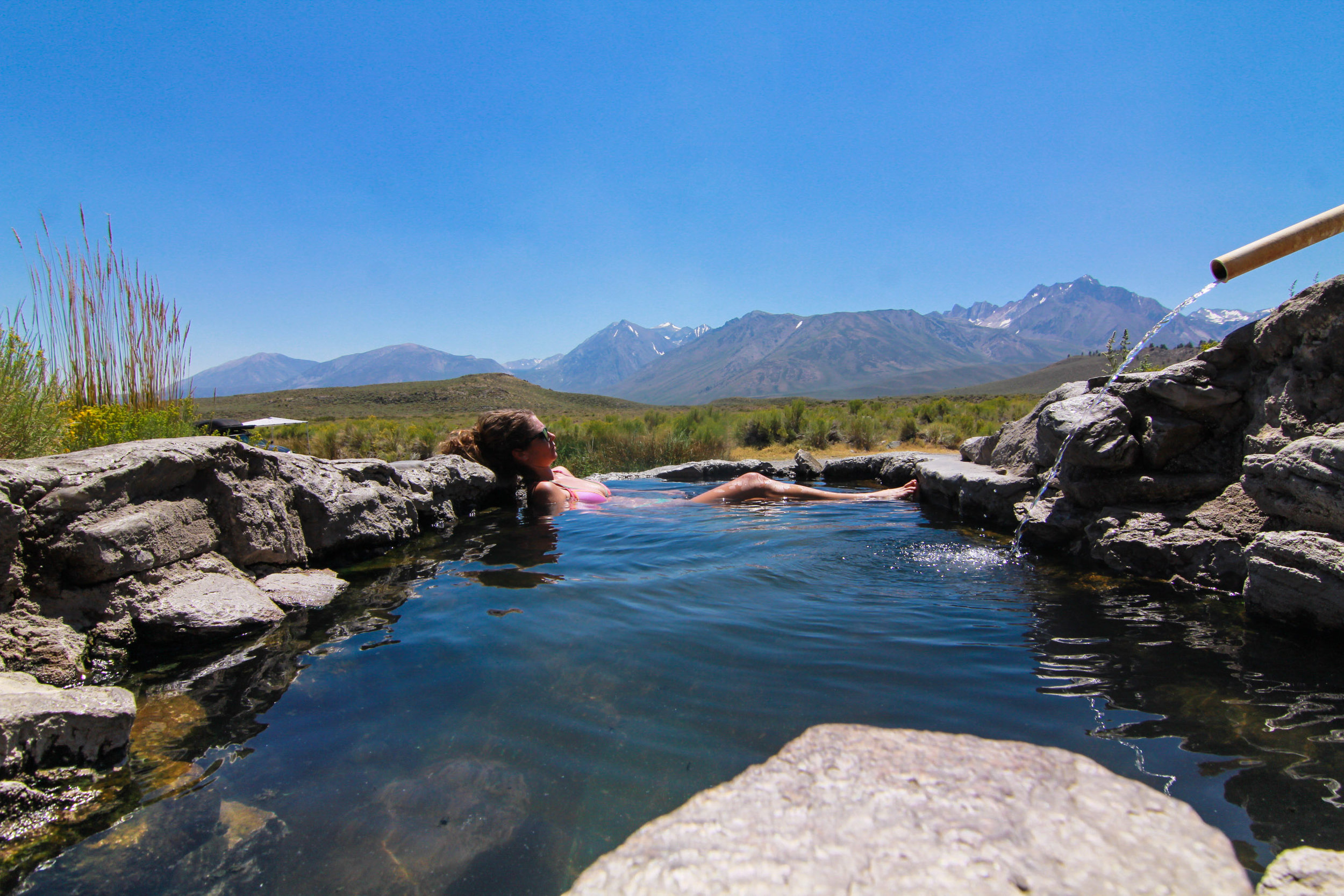
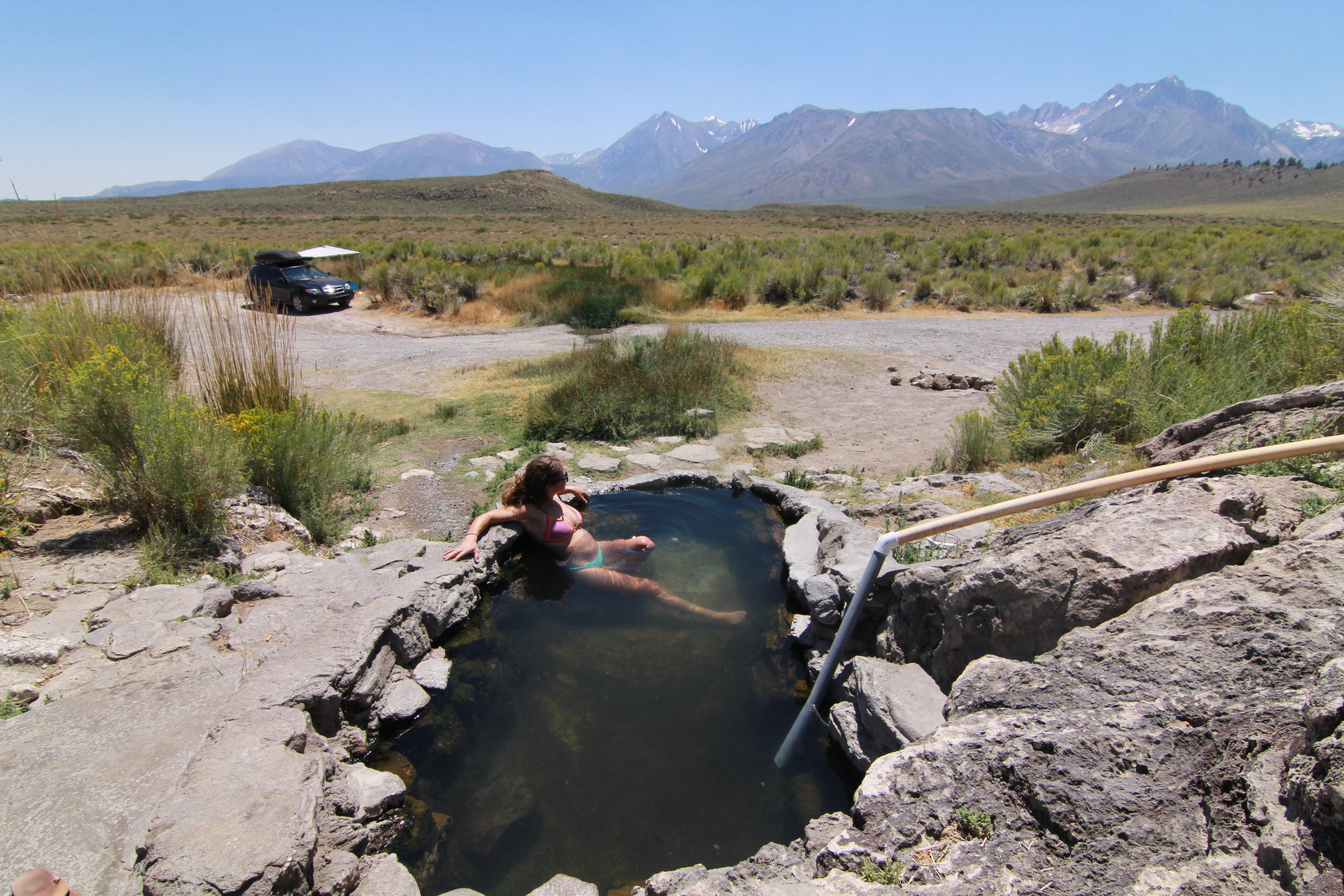
Heart Mountain Antelope Refuge - Hot Springs/Free Camping

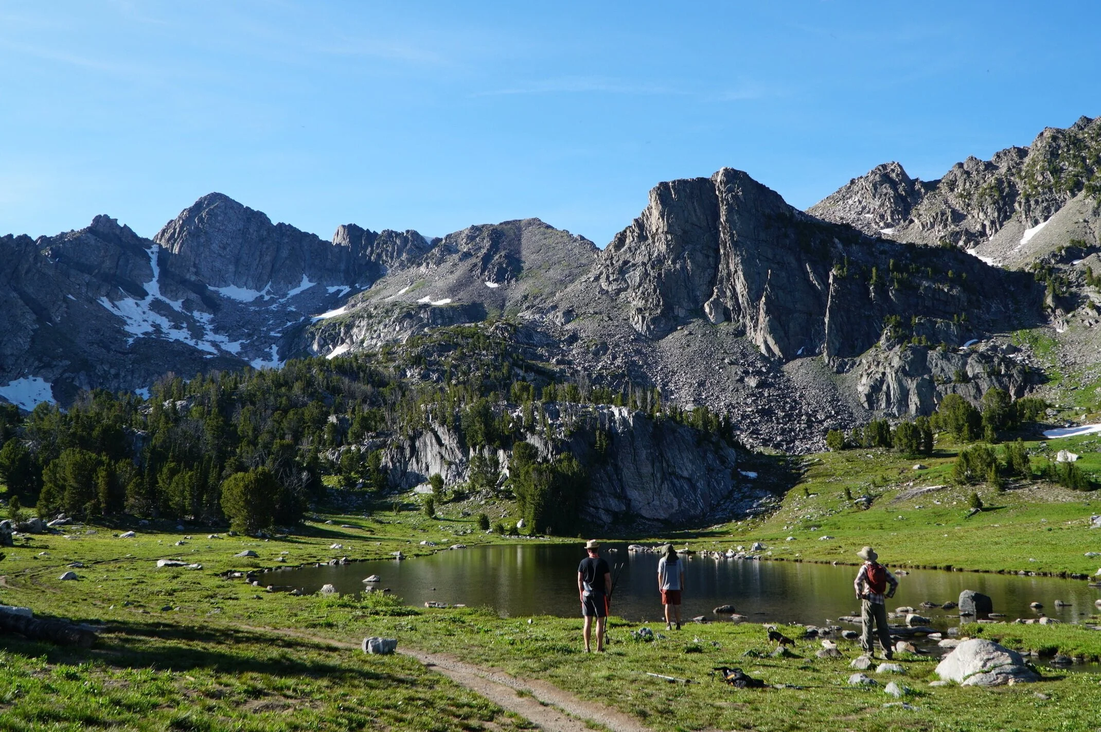
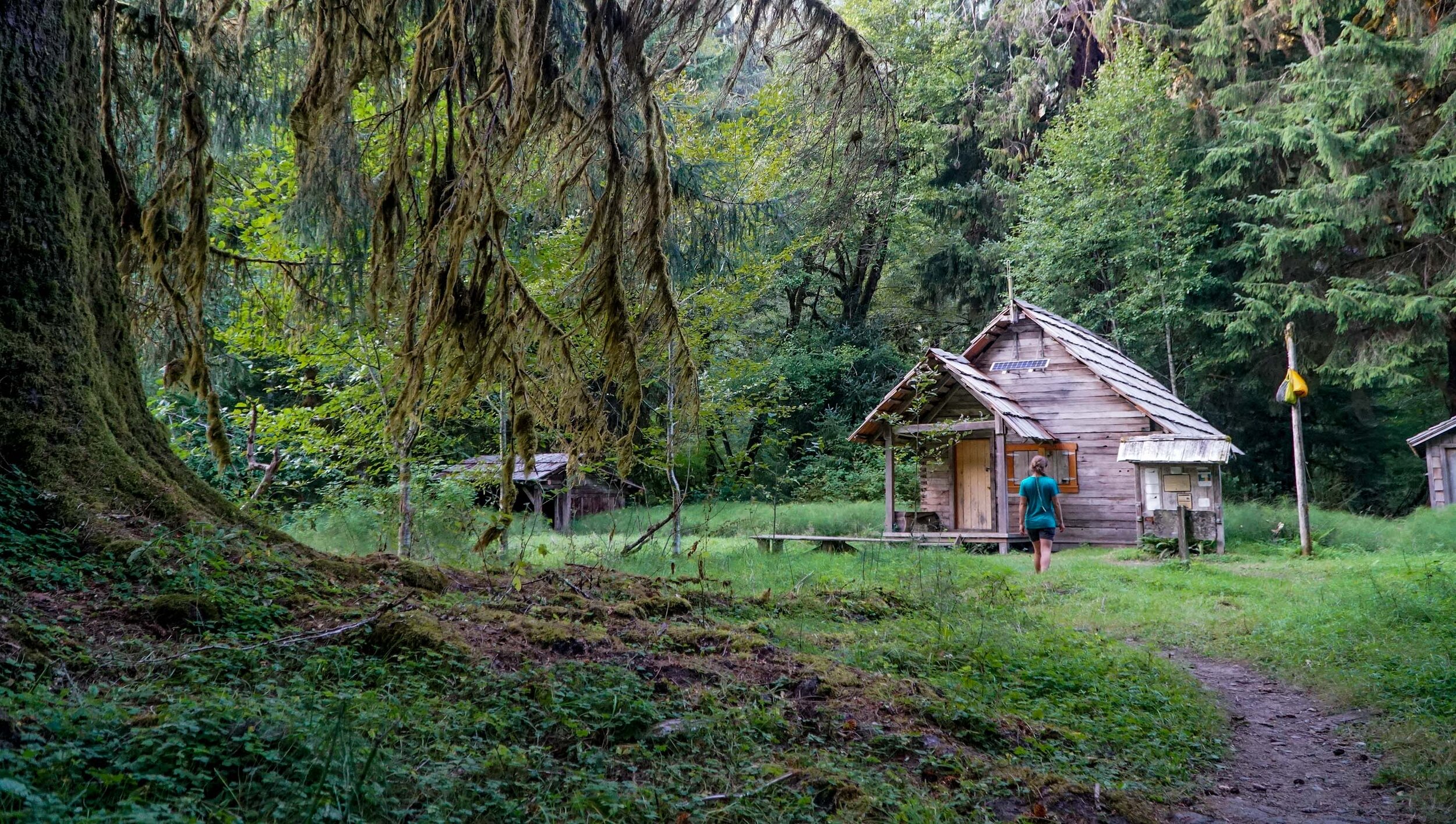
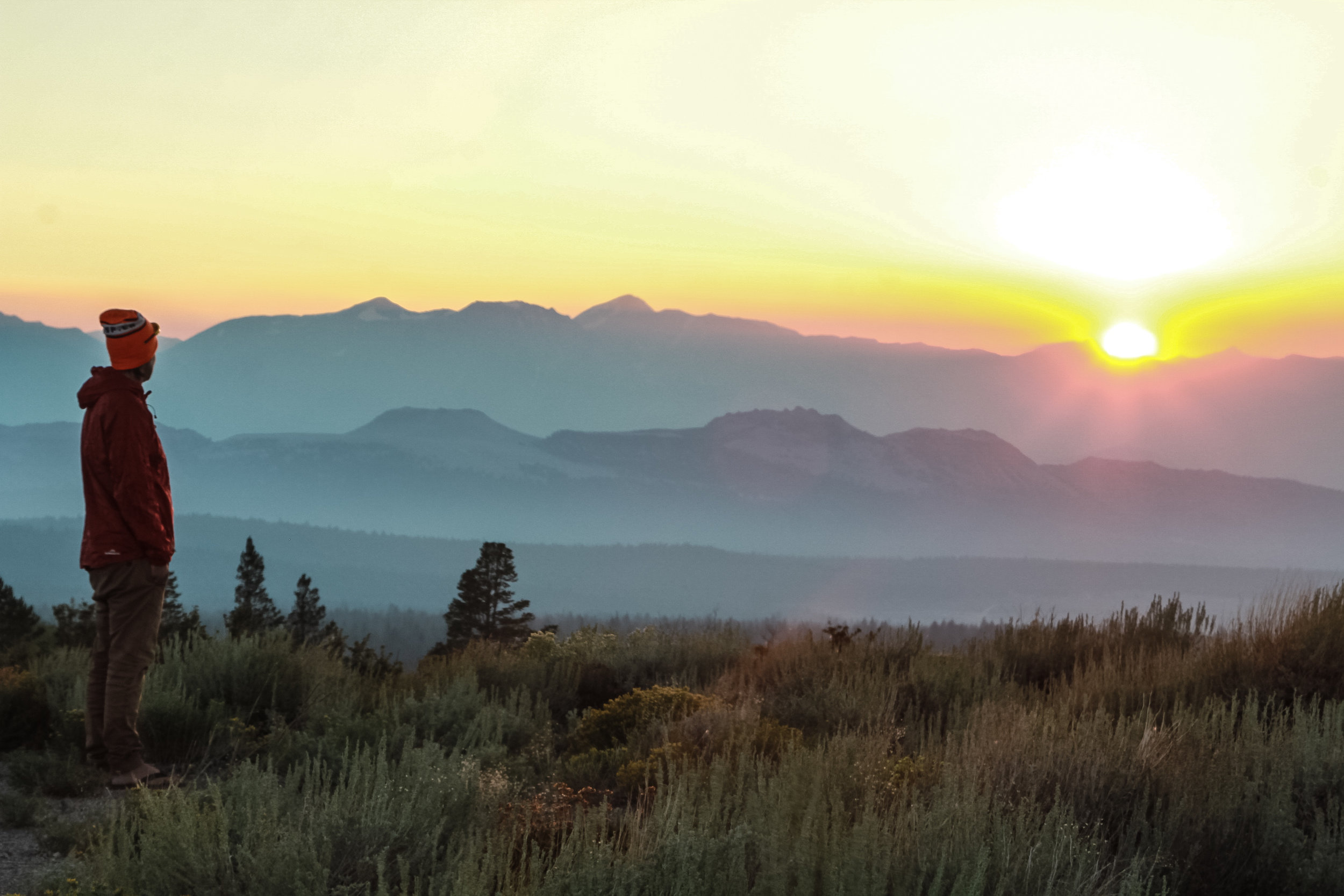
When you are on the road and you get advice from the older retiree folks, well you better take it! Because they know what’s up.  We had a hot tip at our Bend campsite from our good friend @yoterryh to check out Heart Mountain and we are so glad we jumped on this adventure.  The drive up to Heart Mountain is stunning and a majority of this journey is on gravel and dirt roads. You better fuel up in Paisley because you are about to get very remote and there are no services past Plush, OR. The Heart Mountain Camp Ground is way out there and I’m going to leave it up to the adventurous van lifer that you are to find this place yourself.  I’ll let you know that there is a pretty nice free campsite with drop toilets and fire rings and an awesome hot springs with a rock shelter and also a primitive hot spring out in the field.  We really had an amazing time getting here it was such a beautiful drive and we saw plenty of antelope. We will also note, it snowed on us in June.  This is a very special place and is rarely visited by others.  

Eastern Oregon Road Trip Alvord desert heart mountain (9 of 13).jpg

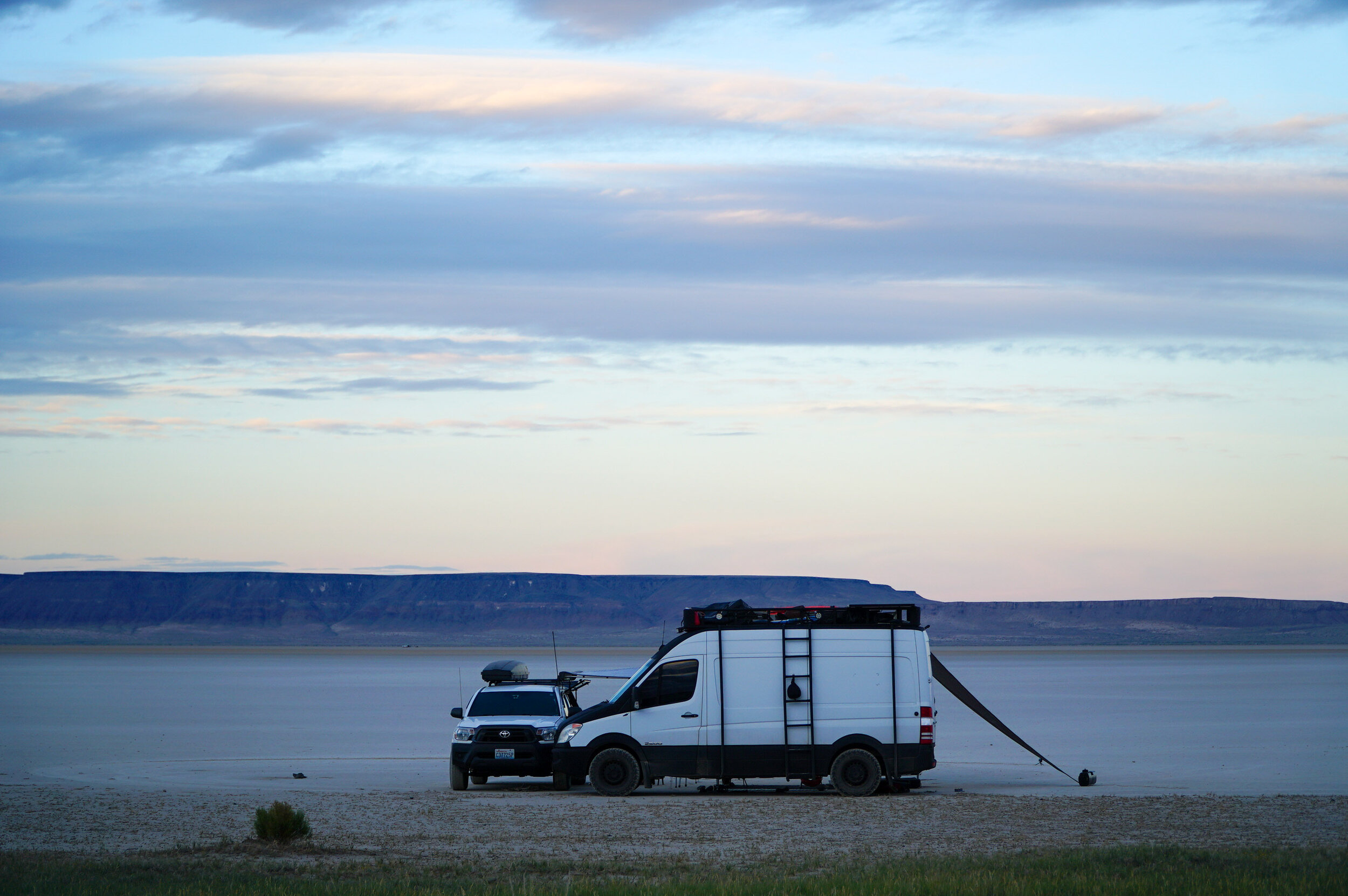
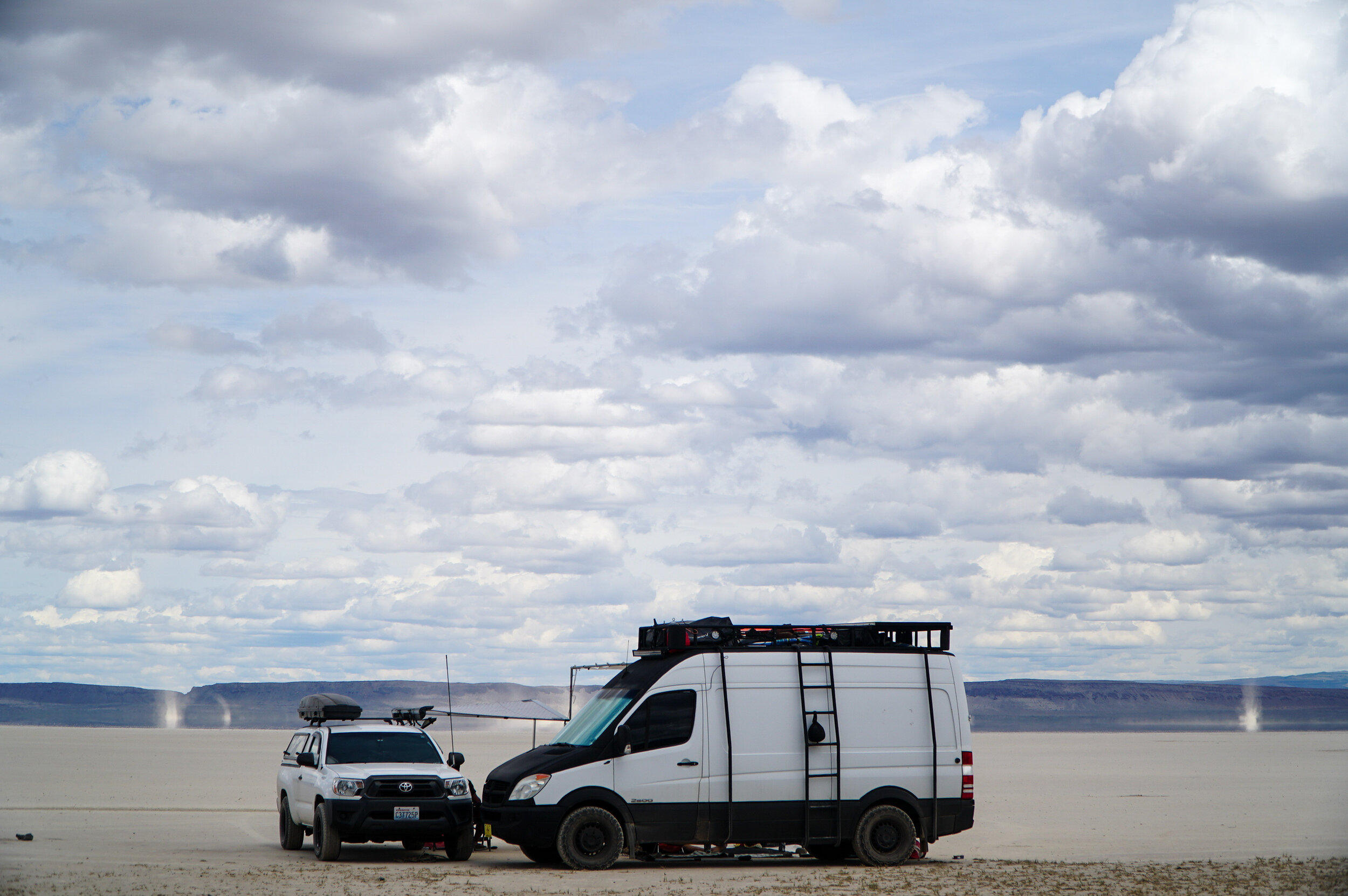
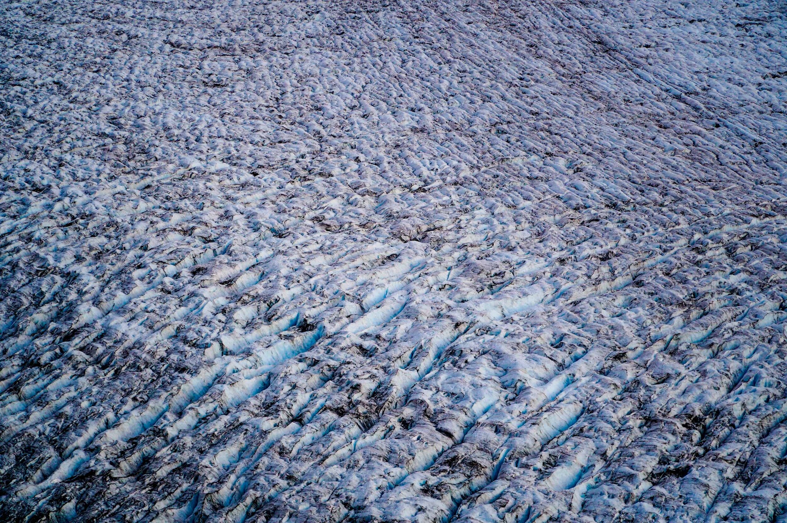
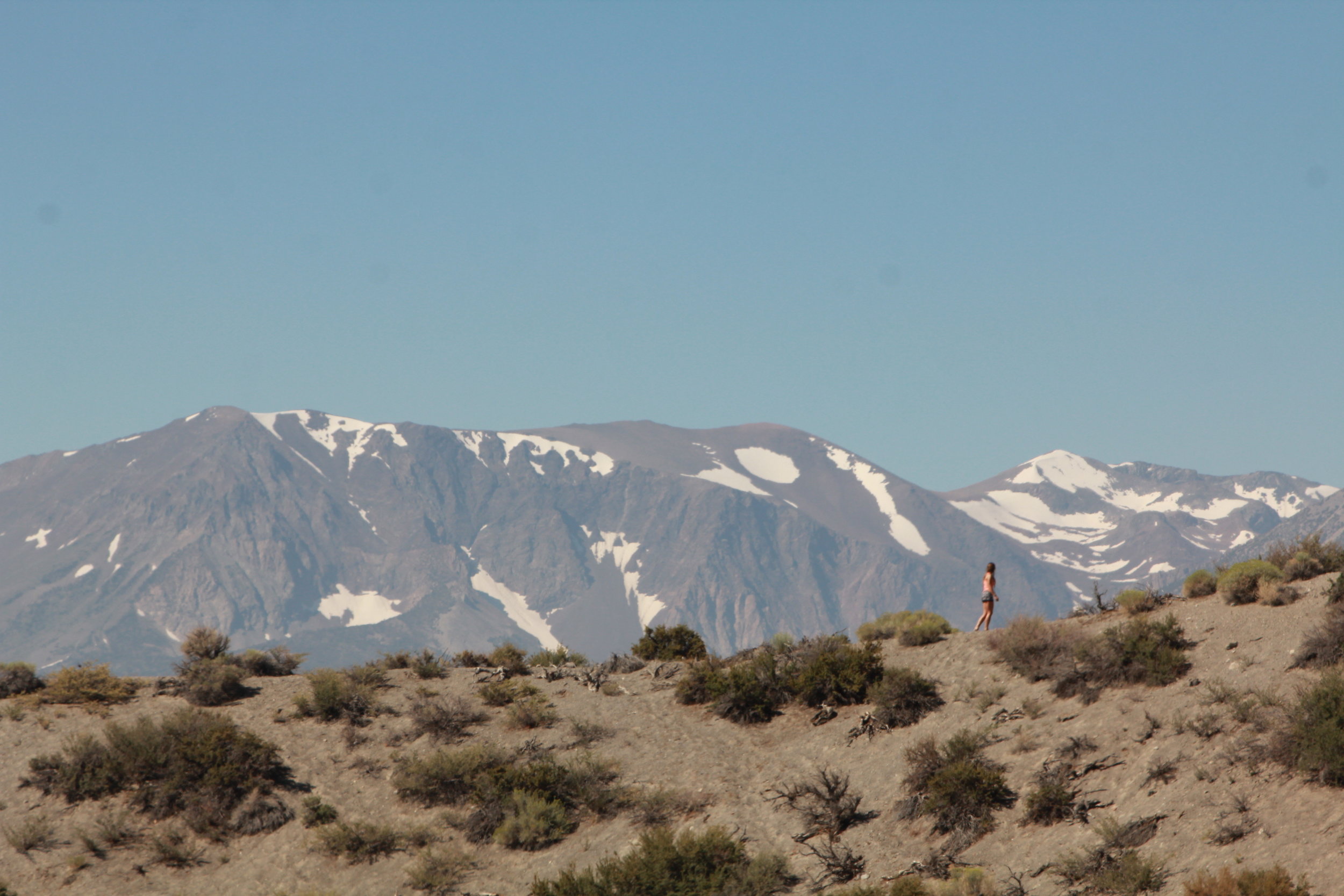
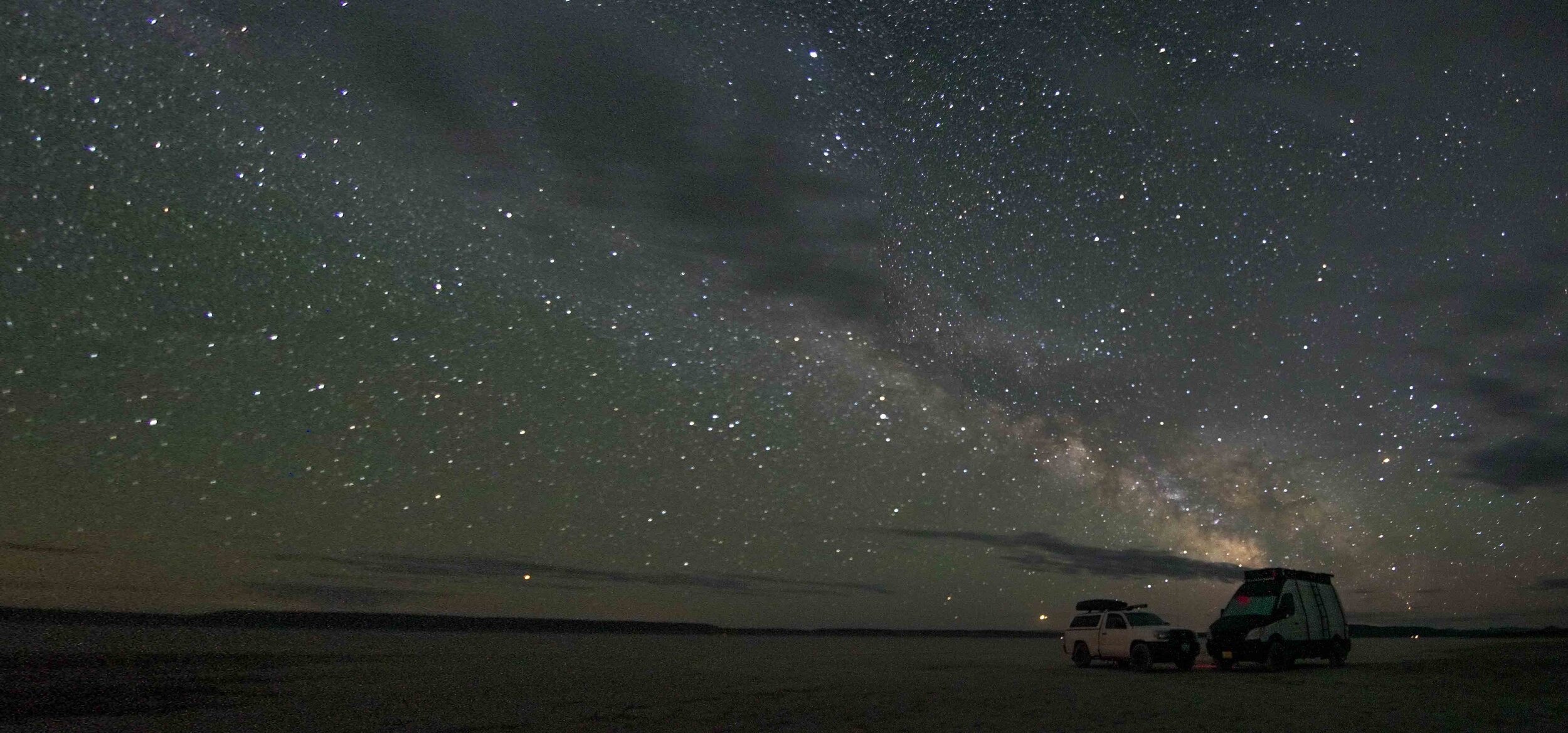
Alvord Desert - Dry Lake Bed/ Free Camping

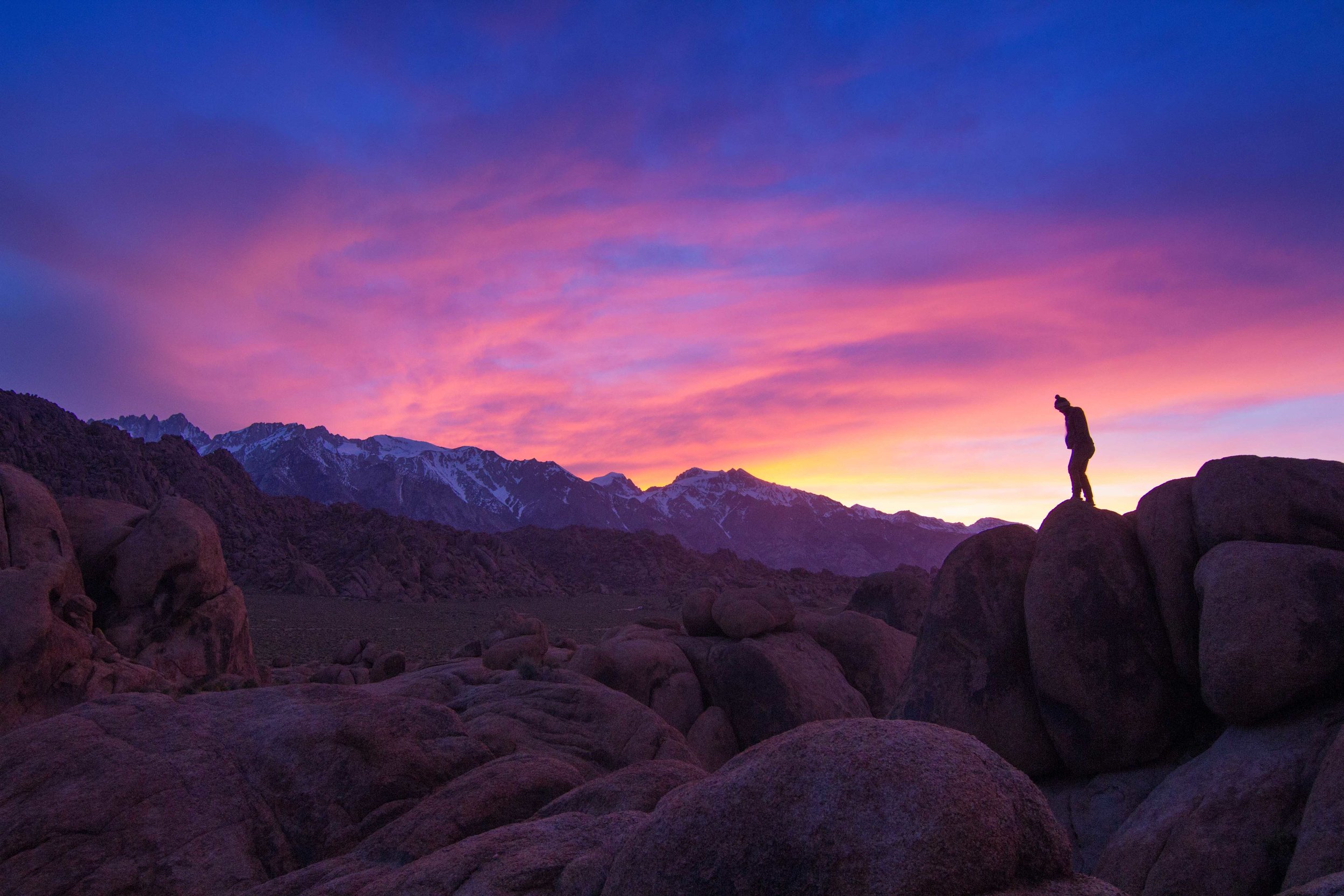
Our last stop on our obscure Eastern Oregon adventure was also recommended by @yoterryh and others, The Alvord Desert.  Getting here from Heart Mountain requires quite a bit of gravel and dirt road driving. So, we recommend lowering your tire pressure, once you hit the gravel on the way to Heart Mountain because you will drive a few hours on gravel from here on out.  The Alvord desert is a massive dry lake bed that is situated under the Steens Mountains, which makes it even more of a unique landscape.  When we visited the mountains were still snow-capped,  it was interesting seeing the snow-capped mountains while you were down on the desert floor.  It’s really a magical place.  We drove far enough away from anyone and enjoyed a very secluded campsite out on the desert.  Make sure you stake everything down because when the winds pick up they can really take your campsite with them.  We also recommend bikes to cruise around the “playa” and imagine you are at Burning Man.  The silence was amazing and the night skies were some of the best we’ve seen in America.  We highly recommend making the journey to the Alford Desert to experience true solitude.  

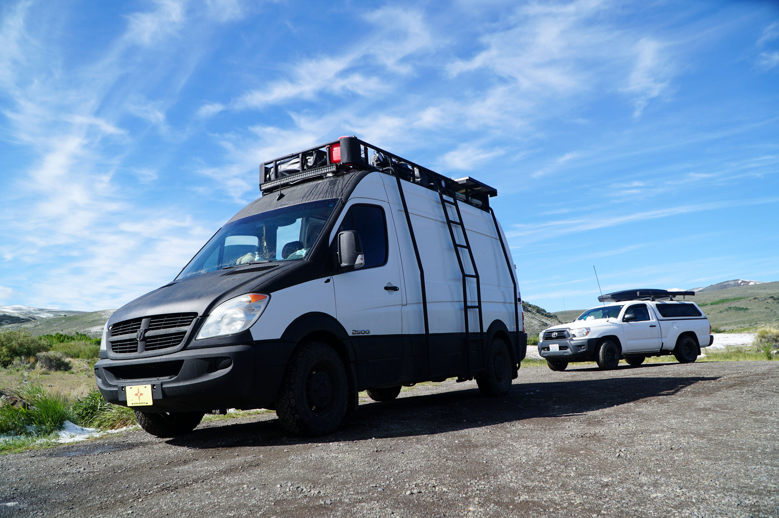
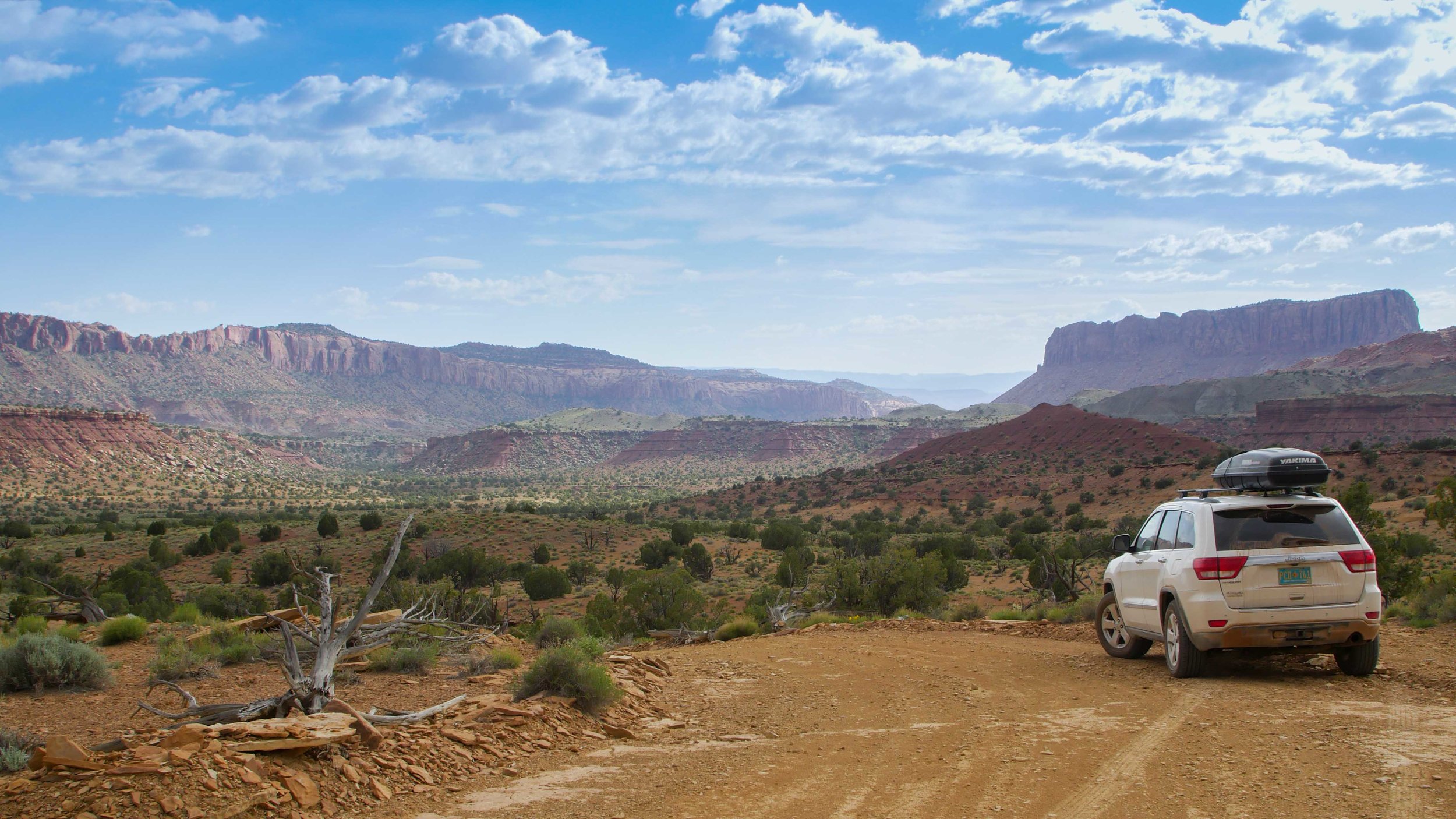
From the Alford Desert, we headed up to Boise, Idaho, to supply up and continue the journey.  From here, we will note there is still quite a bit of gravel and dirt roads to go. So, you’ll want to air down those tires for a smoother ride, we recommend keeping them lower.  There are plenty of stations once you hit the pavement to fill up the tire pressure.  

Bozeman Mountain Biking

Mountain Biking near bozeman

Bozeman Mountain Biking 

Bozeman Montana is an adventure-driven town and a recommended stopover if you want to get on the trails.  We camped in Bozeman for over a week and never had any problems we found it to be a very van friendly town.  There are tons of bike trails in this area, and we narrowed it down to the best rides within 60 miles of Bozeman.  

Big Sky’s Mountain to Meadow 

There’s no need to buy a lift ticket to ride Big Sky Resort, thanks to the town shuttle that drives you back to the top after a screamer of a run down some premier downhill.  You’ll start by climbing next to the Ramcharger lift.  You’ll climb up for about 1.5 miles before you start a long flowy descent with berms and jumps all the way down to the town of Big Sky.  From here, you'll want to head to Fire Pit Park, where you can catch the free mountain shuttle back up to the Ski Area Base where you started.  You can lap this a few times since the uphill is fairly easy.  Make sure to grab a shuttle schedule or check it out here!   

Leverich Canyon Mountain biking

Leverich Canyon

Just a few miles outside of Bozeman is one of the more popular trails in the area.  Leverich Canyon is a short drive from Bozeman.  The road up had been claimed to have been repaired lately but is pretty rutted out and is a sign of things to come.  If you are in a large camper van, you can make it, but it will be a bumpy ride up.  The climb up Leverich Canyon is pretty intense, but it’s worth every chain length.  Once you top out on this ride, get your seat belt fashioned because this is a fast and fun downhill section.  It will be over so fast you’ll want to ride it twice.  

Best Mountain Biking trails in Bozeman

Bridger Range

Just North of Bozeman is the Bridger Range.  There are quite a bit of out and back trails here where you can really gain some vertical and get a nice sweat going.  We rode a few fun trails out here and were even able to camp overnight at some trailheads.  These trails see much less use than the previously mentioned trails, and some of them have been recently built in the last few years, so they are in great condition.  

Best Hikes in Olympic National Park

Backpacking the Hoh RIver Trail to the Blue Glacier Olympic National Park Washington  (10 of 30).jpg

Best Hikes in Olympic National Park

Olympic National Park is where the waves meet the wilderness, glaciated peaks soar high above ancient trees, and snow-fed rivers flow directly to the pacific ocean.  Coast, Forest, and Mountain Ecosystems team up to create an amazing outdoor playground that we now call Olympic National Park.  While there are tons of trails to explore in this park, it is a bustling park since it’s located near Seattle.  The Washingtonians don't mess around with their time off, and they almost have all the overnight backpacking adventures fully booked. So if you want to get out on the trails, we are here to show you the path less traveled.

Upon arrival, You’ll want to get to the (WIC) Wilderness Information Center ASAP! When you get there, grab a Wilderness Trip Planner map. Speak with the Rangers. If everything seems booked-out sometimes, they can book you sites that aren't on the webpage. If you have booked ahead, congratulations, you aren't an honorary kook!  If you plan on hiking popular trails in the area, like the High Divide Trail and The Enchanted Valley, you’ll want to book well in advance.  We really wanted to get out on an overnight trail, so we searched for a while, discussed with rangers, and finally decided on the Blue Glacier 40 Miles expedition.  We also made a few other trails we would like to share with you here.  

Obstruction Point to Deer Park (13.9 Miles Out and Back - Hard)

Obstruction Point is a secret spot. At least it seemed like that when we arrived at 8 pm to an empty parking lot.  Most days, you’ll find the Hurricane Ridge parking lot full to the max, but if you are keen like a kook, you'll know the secret road to Obstruction Point.  It’s a dirt road that climbs quite a bit to the trailhead, but it’s a really amazing spot up on the alpine slopes.  We camped at the trailhead and hiked Obstruction Point first thing in the morning.  We were the only humans on the trail. We saw a few marmots and other creatures out and about.  You don't have to do the full 13 miles. You will reach a high point about halfway. That’s a good place to summit Elk Mountain and turn around.  From the summit, you will be able to see the Straight of Juan De Fuca and the Puget Sound, as well as Mt. Baker and Mt. Olympus!  If you start early, you’ll notice that you’ll encounter more people on your way back, and the parking lot will probably be full.  We saw more cars in line at this park's entrance gate than any other park in the country.   

Backpacking the Hoh RIver Trail to the Blue Glacier Olympic National Park Washington  (23 of 30).jpg

Hoh River Trail to Blue Glacier (40 Miles - Hard) 

We could book out an overnight 3 night 4-day backpacking trip up the Hoh River to the Blue Glacier.  If you are up for over 40 miles of backpacking, this trip is so amazing we couldn't recommend it enough!  We loved this trip. It may have been the highlight of our summer.  

Our camping Itinerary for this expedition was as follows.  

Night #1 - Lewis Meadows

Night #2 - Glacier Meadows

Night #3 - Olympic Gaurd Station

We had plenty of time, and we broke up the expedition into three nights, four days.  We met people who did this in two days, and they could barely walk when we saw them.  I thought one of them had a disability, but he was that sore.  The hike's first 12 miles are through the Hoh Rainforest along the Hoh River and pretty Mellow.  At mile marker 12.4, you’ll begin the climb up to glacier meadows, which is about 4000 feet of elevation, and this is where the training kicked in.  We didn’t have too many problems getting up.  The best part of this climb is that it is through the ancient forest and is nice and shaded, so you stay cool.  When we were there in September, it was pretty hot, and we really sweated it out on the lower section in the sun. 

Blue Glacier Trail Wash out Ladder

Before you make it to Glacier Meadows, you will be warned of a washout section on the trail.  The NPS service will warn you to be ready for this trail washout.  They make it seem like it’s just a small ladder down a washout.  The ladder descends about 100 feet down to the rubble and is family safe, but if you fell, you would be pretty injured, so don't fall!  We will note it’s easier to go up this ladder than down. It’s also very exposed here, and we were burning up in the sun in the late afternoon for this section of the hike.  There are also a few more trailside creeks and streams to filter water on your way to Glacier Meadows.  

 Eventually, you will make it to Glacier Meadows, and you will be happy to see the campsites.  We will note a small stream at Glacier Meadows to filter water to drink and prepare food with.  From here, there is still about 1000 ft of vertical climb and about a mile of hiking up to the terminal arm.  This is where you realize that every step was worth the effort.  When you top out, you’ll see the Blue Glacier running down Mount Olympus carving a massive moraine.  This is one of the most beautiful things I've ever seen on a backpacking trip.  We got up there around sunset and stayed until it was dark.  We hiked down without headlamps back to Glacier Meadows and slept like babies.  

We headed back down in the morning to the Hoh River Ranger Station for our last night.  There are some really awesome campsites here at the Ranger Station.  We will also note that the Ranger came and asked us for permits, so if you are thinking of poaching this hike, you've been warned we saw a ranger here and at Mt. Rainier NP.  We wrapped up the hike the next day out through the Rain Forest. We saw a few Elk and we were stoked to get back to the car to eat some real food.  

We ate and then we headed out.  There are some decent free camping options outside the park along the Hoh River on the park's entrance road. They are surprisingly quiet at night as no one is entering the park after about 5 pm.

Backpacking the Hoh River Trail

This was an amazing experience and we will never forget it.  If you are heading to the Olympic National Park and up for a tough and rewarding adventure and are having trouble booking other expeditions check with the WIC to see if you can plan a Blue Glacier expedition, you won’t regret it!  

Southern New Mexico Road Trip Itinerary

We are both native New Mexicans, but we have not been back for quite some time. And on our inaugural trip in the new van we wanted to stay close to home and explore before we blasted off from New Mexico again. There were a lot of really awesome places in New Mexico that we may have overlooked when we were young, but we were ready to see them and experience them now. 

Socorro and the Very Large Array

First stop leaving Albuquerque, we headed for the Very Large Array, just outside of Socorro, New Mexico. This is apparently the largest array of satellites. We originally wanted to get some time lapse footage of them moving, but we arrived late and weren’t able to scope out the place and plan our shots. There was a security guard that came over to us and told us that the visitor center and area was closed. So, we packed it up and planned on coming back after we scoped out the distance we would need to walk from the side of the road parking lot to the closest array. We definitely plan on coming back when the moon isn’t stealing the show anyways. 

We camped on some National Forest Service land about 10 miles away from the array. The description on freecampsites.net said “True Boondocking” so we headed towards it and were the only on around for miles. 

TorC

In the morning, we headed towards I-25 and over to Truth or Consequences to photo a couple properties but to also check out their hot springs. We’ve never really explored TorC, but once we realized this little town really revolves around the various hot springs in the area. There are Air BnB’s with hot springs in their back yard or with in walking distance. We opted to check out the Riverbank Hot Spring resort. It is $12 for one hour for showers and there are 8 different pools with an entrance to the Rio Grande river as well. We went at night and there were heaps of laser lights shining into the pool and across the other side of the river bank. It really made for an awesome experience. Whispers were appreciated as it was a spa and hotel. There are private pools for $14 per hour, but you only get the one pool. With the $12 pass, you can go from their hottest 109 degree pools to their 104 degree pools. 

Gila National Forest

Gila National Forest Cliff Dwellings

After soaking in the TorC hot tubs, it reminded me that there was a cute little campsite near the Gila National Forests with hot springs. So we headed in that direction. I believe the campsite is called Gila Hot Springs Campground. There are three hot tubs steps from the campsite, potable cold and hot water, composting drop toilets, fire pits with plenty of wood, and about 10 secluded campsites. It is $5 to soak or $8 to camp (camping includes soaking). 

The hot spring tubs and campsites are right on the river and behind some farms, homes and other properties. When you turn off the road, you head thru some goat farms, follow the signs for the campsite. I believe you turn left on west fork lane, which goes along the river and the back side of the private property. Then, you got thru a gate to the right. If it is closed, you can still go in. You just need to pay your fees at the little hut near the first hot tub. The owners are a lovely couple. They come by every morning and night. They check the envelopes and say hello to everyone. So don’t go trying to skip your honesty box dues. They will not hesitate to make you pay. But at $8, this site is a bargain. I don’t know if you read the amenities and secluded campsites part, but I hope I had you at 3 hot springs steps away from your campsite to convince you that this is well worth every penny. If this were in New Zealand, it would be $40+. But, it is in New Mexico, so it’s a bargain at $8 per person. We stayed here twice. We didn’t plan on it, so we were a bit short money wise on second night, but the lady remembered us from the first night and let us slide and was glad we enjoyed it so much as to come back for a second night.  

This campsite is about a 10-15 minute drive to the Gila Cliff Dwellings. There is no way that you should miss this place if you are in the area. It is mind blowing. Apparently they are the best preserved dwellings in the US. They are 80% original preserved dwellings, with only 20% minor restorations. A lot of dwellings are reconstructions. This one is original. 

Apparently, back in the 90s this place was much less regulated, and you could camp anywhere inside or near them. When we went, there seemed to be more rangers than visitors, but they all were able to answer any questions we had checking out different areas inside the caves. The dwellings hike is about a 1 mile loop. 

City of Rocks State Park

After a late start at the campsite, we headed towards the City of Rocks. It was a half way point in-between Gila NF and Las Cruces, it was a place I had never heard of and it looked super cool from the pictures. 

Camping is $10 per site. There are trash cans and picnic tables at each site. It really looked like a little mini city of rocks; like Joshua tree or Alabama Hills type of random boulders, which made for some cool secluded campsites. There are both powered and unpowered sites. 

A lot of people were wandering thru the different walk ways the random rock piles seemed to create. Or climbing on the boulders. In the morning, we went out on a bike ride around the campsite and up the mountain. It was an 8 mile loop. It was gravely where it was easy and where it was more technical and hard, it was chunky and questionable if it was really a bike trail. Maybe one day I will be that good :)

Las Cruces/ Organ Mountains National Monument- Sierra Vista BLM Camping

Organ Mountains Las Cruces

After we cooked up some lunch, we headed towards Las Cruces to grab some groceries at the co-op and gas-up. Then, we set the GPS towards the BLM land just outside of Cruces, near the Organ Mountains National Monument,  Sierra Visa Trail head parking. There are hikes and biking that are reminiscent of Elena Gallegos or Bear Canyon on the foothills of the Sandia’s in Albuquerque.  

There are about 4-5 spots and they are usually taken. At the very end there is a larger parking area and a lot for about 3 medium size rigs parked efficiently down below. This is where the overflow late arrivers usually park up. 

Please stay on the roads or designated/ all ready established areas. Since the popularity of freecampsites.net, the rangers that maintain this area have really had to make this spot a priority. We had a really funny and pleasant conversation with one of the rangers calling the site, “camp free anywhere .com or something” he said that they have to come buy many times throughout the day, early in the morning,  later in the afternoon to make sure people are not creating more spaces. He said it is BLM land and you are allowed to camp over night, but you can not create your own campsite anywhere, which is what people are doing when they pull up and see that there are no spots. They figure if no one is there to tell them no, then why can’t they. This type of unchecked behavior is what will threaten these awesome places for overnight stays. Which means, gate closing times for spaces like this. 

There are no facilities at this spot. Please come prepared as a self contained or a shovel and a ziplock bag for your pee paper. No one likes to see where you marked your spot. 

White Sands National Monument

White Sands New Mexico

There are 10 backcountry permits available to campout at White Sands. It is $6 per person and the campsites are first come, first served. If you have a National Parks pass, you only have to pay $3 per person for camping. 

It is awesome to camp out and share the park with about 10-20 other campers once the park closes down. You get to see the sunset, moons, stars, and sunrise. And all four of those are some of the most magical parts of White Sands. Cotton candy magic hour skies and pearl white sand dunes all to yourself. The harsh white light during the day is usually short lived by visitors unless they have kids playing in the sand. Usually about the time White Sands turns on the magic, it is time to go home for day visitors. 

Backpacking White Sands National Monument

The temperatures at night drastically change; bring warm clothes and a warm sleeping bag. If there is no moon, it is very dark; so, bring a head torch. We went during the super, blue, full moon and it was as bright as dusk the entire night. The moonlight was lighting up the inside of our tent. We really didn’t even need a head torch at all. 

This place is pretty awesome. If you are taking a southern route thru New Mexico, you don’t want to miss White Sands, it is pretty mind blowing. 

Carlsbad Caverns National Park

If you are in Southern New Mexico, this is something you don’t want to miss, as well, equally mind blowing. Make sure you do the walk down and through the caverns. It takes a while to walk the entire system of caverns. So, make sure you go to the bathroom. I seem to remember there was on at the beginning and one at the elevator, at the end. (Just a little tip for all you guys that try to stay hydrated, but end up peeing all day, like we do.)  If you are there when the bats are there (Mid Summer to late October), make sure you stay for the bats exit of the cave in the afternoon. The bats are how they found Carlsbad Caverns. Apparently, like clockwork, these free-tailed bats, would fly out together every summer afternoon. And, because they are somewhat blind, they stick closer together. When one dips, they all dip together, looking like smoke rising in the air. The original people that found Carlsbad Cavern’s thought it was a fire every night. So, they finally went to it and realized the smoke was hundreds of thousands of bats exiting an enormous underground cave. 

From the Ranger’s Intro talk before the bat’s exit the cave, they first told us they had a strict ban on electronic devices during the bat flight program. No cameras, video, phones… everything emitting a signal must be turned off. They are super sensitive to electronic devices.

It is really a crazy experience from start to end. 

ABQ to Burningman Road Trip

Mono Lake Camping

After getting the Subaru all rigged up for the road with a fold out bed and other accessories (Check it out here), we took it out to Black Rock City for our annual pilgrimage to Burning Man.  We don’t stay in the Subaru at Burning Man. We build a hexayurt, although we have tried the car and it was miserable.  (More info on hexayurts here)  We’ve only traveled to BM from California and Washington, so coming from New Mexico was going to be a mission. We figured we would break it up into a road trip.  So all you New Mexico burners out there, we found a pretty awesome and fun route with multiple stopovers on your way to BRC.

Sedona

Sedona Devils Bridge

Our first stop was a five hour cruise over to Sedona. Being our first time in Sedona, we had no idea what to do. So, we headed to the Dry Creek Area for some exploration.  We wanted to see Devil’s Bridge, but we knew it would be swarmed with people since it is one of the top hikes and easiest in Sedona. Plus, it has jeep trail access. So you already know the Pink Jeeps are blowing this spot up.  So, we explored the surrounding exotic red rock territory until sunset and then headed up to Devils Bridge after sunset.  Per usual, on our way up everyone was heading down, we got to the bridge and had it to ourselves once the stars were coming out.  We shot a few photos, watched the stars, and had a drink.  We were getting very comfortable until we saw a few scorpions, so we decided to head down.  We drove to Forest Road 525, off  HW-89, for some free camping.  We drove past the first few occupied pull offs and found our own exclusive spot and set up for the night.  We woke up, cooked breakfast, and headed out towards our next destination. 

Trona Pinnacles

We made the long haul from Sedona to the Trona Pinnacles in Death Valley.  It’s best to arrive at the Trona Pinnacles later in the day, around sunset, because the late summer daytime temperatures are boiling.  It was about 102 degrees at 7pm, when we pulled up.  We braved the heat and shot some magic hour photos and set up the rig for another night.  Thankfully, for us, it cooled down at night and we slept without the rainfly to have an amazing star show that night.  If you’ve never heard of the Trona Pinnacles, it's a pretty cool place to stop over for a night of camping in Death Valley.  We woke up and headed for HWY 385 that heads up the heart of the Sierra Nevada.  

Highway CA 385

This is some of my favorite stretches of highway, for life on the road.  There are so many amazing and scenic spots throughout this area.  We stopped in Lone Pine for some supplies. If you have extra time, you must camp at Alabama Hills, outside of Lone Pine, it’s one of our all time favorite campsites.  We headed up the 395 for some hot spring action.  There are plenty of hot springs out here, you just have to find them and it’s not very hard. Whitmore Springs area is just one area with multiple hotsprings, some you can camp near. After soaking in three different tubs in the area, we found a campsite around June Lake. We stayed at a free site that wasn't anything special, but it was free and in route!  The next morning and headed towards Yosemite. 

Yosemite - Tuolumne Meadows

We’ve been to Yosemite many times, but we've never been to Yosemite from the East Entrance.  We thought it would be a better to head to Tuolumne Meadows during peak season since the Valley is a nightmare in late August.  Unfortunately for us, there was some serious smoke from a forest fire and we had to bail on hiking Clouds Rest.  So, we headed to the info center to get some tips on where to find something that would have better visibility.  We debated an overnight, but decided with all the smoke we should just hit a day hike and get out of the smoked out valley.  We chose Lembert Dome which ended up being a great hike considering the conditions and it was relatively short and easy for the awesome reward. We were actually really stoked on Tuolumne Meadows, on the backside of Yosemite. It’s really nice with half the crowds and you are able to get an amazing perspective of the Yosemite Valley from fairly easy hikes, and roadside pullovers .  

Jeffery Pine Camping

We headed out and talked with someone at the visitor center in Lee Vining that recommended Jeffery Pine Forest for a nice overnight camping stop over.  After about and hour + of adventuring around this area on the dirt roads, thank god we were in the Subaru,  we finally stumbled across one of our best campsites of the trip.  We were able to get lucky and find a pretty rough road along a ridge to our own little hilltop camping spot.  We set up and enjoyed a smoked out sunset cooked and slept in the car that night because it was a bit cold still in the high country.

Mono Lake 

After our camp at Jeffery Pine, we headed down to Mono Lake to see the famous Tufa formations in the morning before a bunch of people showed up. There were some kayakers on the water, but there was no one walking around yet. If you have not been to Mono Lake, this place is crazy. It's actually hard to explain, but it is worthy of taking 30-45 mins to pull over and check out how crazy the earth is. Although we missed both magic hour's at this spot, I am sure that Mono Lake would be pure magic for sunrise and sunset.

Panum Crater 

After Mono Lake, we stopped at Panum Crater, after seeing signs for it exiting the South Tufa area of Mono Lake. So, we decided to take the dirt road and check it out. The trail head starts out on a rough pumice trail that leads to the rim.  0.2 miles of further hiking will take you to the spectacular obsidian core of the volcano that erupted over 600 years ago. Fun fact we learned on the trail, dependent on how rapid the cooling process is, lava becomes Pumice or Obsidian. It is crazy the cooling process can change the look and feel of a rock so significantly! 

Camp Happy Hour Burningman

Tahoe - BRC

We headed out that morning to soak in the Travertine Hot Springs.  After a nice mud soak, we headed out to the Tahoe area to meet up with a good friend of ours.  We had great timing, as we arrived he was at an art car fundraiser for Burning Man, so we got to get in the groove and even got our first gift at the event.  From here, you could head to Reno and skip Tahoe however, we had to begin the prep for our camp “Camp Happy Hour” based in Auburn, California. So we headed out to Auburn to begin the prep and the final haul to the Playa.  

Jemez to Taos, Hot Springs and Mountain Bike Tour

Jemez New Mexico Hot Springs

White Mesa - Mountain Biking

We packed up the newly remodeled road-trip-ready Subaru and headed out for a northern New Mexican adventure.  Our first stop was Jemez, just about an hour and thirty minute drive from Albuquerque.  If the weather was cooler and it wasn't the peak of summer, I recommend stopping at White Mesa (photos below) for a very unique mountain bike experience. 

Jemez Hot Springs

Our first stop in Jemez was Spence Hot Springs, while we waited for a friend.  The pools at Spence aren’t incredibly warm, but they are worth the short hike and they have an amazing view from the pool.  Our next stop was San Antonio Hot Springs, off of Highway 126.  We arrived to a closed gate and had to walk over five miles, one way to the hot springs, but it was well worth the walk.  These are some of the best hot springs I’ve been to in New Mexico.  It consists of about 5 pools with a high pressure source pumping out into the top pool.  We left in the late afternoon and were soaked on the hike out and slept in the Jemez Falls parking lot that night.  

Taos - Mountain Biking and Hot Spring

The next day, we drove highway 4, easily one of the New Mexico’s most scenic roads, passing through the Valles Caldera and then through Los Alamos, where there is more mountain biking.  The next stop was Taos Ski Valley to ride the Northside Trails.  With a climb of over 2,100 feet, this trail is a big climb and the only alpine riding in New Mexico.  The Climb is worth the effort and the views of the Carson National Forest are epic.  Get ready for a steep ride down.  I don't know if you've ever been to TSV, but they say Taos is a four letter word for steep.  

After the ride we had a beer and snack at the Stray Dog Cantina and headed down the valley to Taos Mesa Brewery.  We stayed a few days out on the mesa with a good friend and relaxed and explored Manby and John Dunn hot springs in the Rio Grande Gorge.  One afternoon we headed back up to TSV to hike to Willams Lake. The lake sits below New Mexico’s tallest point, Wheeler Peak.  Later that week, we rode Horse Thief Mesa and the Rift Valley Trail before heading back to Albuquerque.  Before arriving to Albuquerque, we stopped at our favorite trail, Bobsled, in Palcitias.  Upon Arrival, we were really stoked with our spur of the moment trip and another trip in the Subaru.  

Southwest Desert Road Trip

We arrived in LAX after our trip abroad and were ready to get back on the road.  We were fortunate enough that our good friend Omar was in need of an adventure.  We joined forces and decided that we should tour the Desert SW back to our hometown Albuquerque, NM.  It was late April, so we figured the weather wouldn't be too hot.  We crammed all our gear in to Omar's Jeep Cherokee and began our to be 1,600+ mile road trip with 0 plans, but to have fun and explore new countryside.  We left the first port city of Venice, CA, after some amazing surf and headed towards our first desert alien landscape.  

Camping at Joshua Tree NP

We entered the Joshua Tree orbit around noon.  The first thing I would highly advise is buying the $80 America the Beautiful pass. It worked at almost every planet we landed on.  We bought our pass headed to Big Rocks Campground ($15 per site).  J-Tree is a mix of exotic granite rock formations and awkward Joshua Trees scattered throughout this bizarre landscape as far as the eye can see.  This is a great place for rock climbing and Scrambling around.  We explored and climbed around at the Hall of Horrors and Hidden Valley. We would definitely recommend these two spots.  There is amazing rock climbing, scrambling, and photo options at these spots.   

That night we stayed up a bit for star gazing and photography, but were shut down by a thin as cloud layer.  We woke up and cruised for a while on the Geology Tour Road to check out the park more, explore, and take some pictures.  After about an hour or driving, we left J Tree’s orbit and blasted off to another dimension.

Camping rock climbing hiking Alabama Hills BLM

The Alabama Hills BLM land outside of Lone Pine, CA, is camping heaven.  Upon surveillance, this alien landscape seemed to be something out of another galaxy.  Amidst the enormous rock fields, stands Mt. Whitney, at 14,505ft, looming down on the valley below.  ‘Bama Hills is on BLM land where dispersed camping is allowed.  However, it is on you to clean up after yourself. There are no toilets. So, come prepared.  

After our first night of camping, we woke up and did the very short loop hike to the Mobius Arch.  We then headed up to the Mount Whitney Portal to check out some hikes.  After a heavy snow season, we were shut down pretty quick on the trails up at the Whitney Portal.  We did learn that permits for hiking Whitney in the summer are required. So, look into obtaining one before you head up. 

After some 4x4 and beers, at an old cowboy bar in Lone Pine, we arrived at a very wind destroyed campsite.  After getting camp set back up, we settled in for what was one of our windiest nights of the trip.  We woke up the next day had breakfast and hit the road for a long haul to Nevada. 

Death Valley National Park

We exited the Alabama Hills solar system and hit hyperdrive and time warped to a new desert planet. Death Valley is a drive through park, meaning a majority of the experience is driving through the park, at least in the summer.  I could imagine some amazing activities in the other seasons. 

We stopped and made lunch at one of the first outpost we saw.  It was already heating up and I couldn't imagine this place in the midst of summer.  We set down our landing gear on the Beatty Sand Dunes and walked until the footprints started to subside it was already 96 degrees in late May.  Down the road a bit is Zabriskie Point, which is an amazing overlook over the Zabriskie Badlands.  There looks to be an amazing hike, if you were around in the fall/winter and it was cooler, but the heat was too much. So, we just took a few pictures and explored for a bit before we headed on. 

Red Rocks State Park Nevada

A few miles outside the bright lights of The Las Vegas Spaceport lies a gem known as Red Rock Canyon.  The mars like terrain will have you feeling as if you were actually on the red planet.  If you want to score a campsite at the Red Rock Canyon Campsite ($10 Per Site) you better be there early.  We showed up and it was completely full.  We ended up having some fellow travelers allow us to stay with them since they were just crashing in their amazing van.  We got in set up camp cooked and had a good chat with our neighbors.  We woke up the next day and headed into Red Rocks Canyon.  We hiked around Calico Basin for about 3 hours climbing and scrambling around and getting lost in dark red slot canyons.  We cruised around the park took in the views and started our auto pilot for Las Vegas.  

Valley of Fire Las Vegas Nevada

After indulging in provisions in the wild space port Las Vegas, it was time to set our sights on a new frontier.  We set out for St. George, but as most vessels leaving Vegas, we had a very delayed take off.  We headed toward Lake Mead and our radar picked up the Valley of Fire State Park.  We decide to veer off track and check it out.  We arrived late and the gates were open.  Driving through this park seems like something out of the Martian.  There seems to be lots of hiking activities in the park.  Its even amazing just driving though it if it’s a blistering hot summer day.  After little or no trip research, we headed straight to the Fire Wave.  It takes about 20 minutes to walk to this rock formation with amazing rock coloring.  We shot pictures until it was too dark and headed on.  That night we slept in the middle of nowhere, where a dirt road ended, definitely the worst campsite of the trip, but it was free.  

Zion National PArk Angels Landing

Zion is an amazing place!  I had no idea the size of this park before arriving.  Massive sandstone peaks with names like The Great White Throne, and The Alter of Sacrifice tower over a thousand feet above the valley floor.  Per usual, we were very unprepared for the busy National Park and had no reservations or any clue what we were going to do inside the park.  We got very lucky scoring a spot in the Zion South Campsite later in the day, (We literally just asked someone if they would share with us because of course the site was full.)

We set up a quick camp and set out for the Hidden Canyon Trail.  The Zion Canyon Road is only accessible via a shuttle system but it’s fast and effective.  We took the Shuttle to the Weeping Rock Stop.  The hike up to the Hidden Canyon is an awesome track that exposes you to trails along huge cliff faces.  It is a climb to access the Hidden Canyon, but it’s not anything too difficult.  We went up and back in about 3 hours.  If we had more daylight we would have done the trail to Observation Point, which is supposed to be on of Zion’s best overlooks.  

We woke up the next day, ate breakfast and prepared snacks and provisions for Narrows and Angels Landing.  Unfortunately for us, The Narrows were closed due to high water levels.  We didn't want to hike Angels Landing in the middle of the day due to crowds. So, we hung out in the valley for a bit and headed to Angels Landing around 4pm. 

The trail to Angels Landing is 2.4 miles.  It begins at the Grotto drop off point.  The hike up to Angels Landing isn't too difficult it is all uphill, but it’s paved and it's a really nice trail.  On the Angels Landing Trail, after you head up Walter’s Wiggles, if you have a fear of heights, you may struggle in points.  You basically hike along a knife ridge, with the valley 1,400 feet below you, with only chains to hold onto.  After a half mile of high risk hiking, you reach the 5,790 feet summit of Angels Landing and you will be glad you did this hike.  The views from Angels Landing across the valley of the Great White Throne towering overhead are amazing.  You will literally feel like an ant on top of this rock formation.  It’s a hike you will definitely want to do while in Zion.  We headed down and luckily caught the last shuttle back to the campsite.  

Bryce Canyon National Park Utah

We left Planet Zion late as expected with our Crew and set auto pilot for Bryce Canyon.  We set up camp right outside of the park off of forest road 1173 where we saw other people camping.  We set up camp rested a bit then drove into the park.  

We once again flashed our America the Beautiful card, that we already made our money back on, and headed towards Sunset Point.  We started with the Navajo Loop trail that takes you down to the Valley Floor and up through Wall Street canyon, named for obvious reasons. 

We hoped in our lunar rover and headed to the Bryce Overlook viewpoint for sunset.  Bryce Canyon is the Grand Canyon’s younger smaller hippie brother.  This place has some of the most interesting and trippy hoodoo rock formations in the US.  Bryce Canyon would be an amazing place to do some backcountry camping and we wished we were more prepared with permits and such to partake in what must be an incredible experience.  

Burr Trail Escalante Staircase National Monument

From Bryce, we originally set sights on the Grand Canyon North Rim, but the park wasn't open yet. So, we decided to go off a hot tip from another traveler and check out a road less traveled.   The Burr Trail is in the Escalante Grand Staircase National Monument and is a road that access some amazing opportunity for freedom camping in areas. 

The strips of pastel pinks, whites, and, reds confirmed that we were in Jupiter’s orbit.  We were sucked straight into the this landscape as if we were imbedded into a transcendentalistpainting.  We first headed to Kiva Koffeehouse before we headed to Calf Creek Falls.  We highly recommend checking out this little gem of a cafe with amazing views of the Escalante River Valley.  The trail to Calf Creek Falls is easy and along the valley.  It’s an awesome little hike and the waterfall is like an oasis in the desert.  We camped in the BLM land along the Burr Trail overlooking Long Canyon.  The next day we headed out on one of the more scenic drives of the trip along the Burr Trail.  We stopped along the way to witness thunderstorms sweep across the desert landscape.  Originally, as we set out that day, we felt like going deep into the belly of the desert.  We set out for a pin on the map to put the Jeeps 4x4 to the test.  We set out for Moody Canyon with a stop at the Wolverine Petrified Forest.  

The journey out to Moody Canyon is a long one and you could possibly go a few days without seeing anyone in certain times of the year.  With the being said, I would advise to have emergency food/water and a back up batter charger or way to jump your car if you needed to.  We found an amazing campsite overlooking Moody Canyon.  The road was easily manageable in the Jeep, but wouldn't be possible in a camper van.  We were isolated out on the desert and it felt amazing. We cooked and enjoyed a moonlit campsite. 

Capitol Reef National Park Utah

We jetted out early in the morning so we could enjoy a few activities in the Capitol Reef National Park before we headed toward the Utah/Colorado border for the night.  The drive through Capital Reef is pretty spectacular on its own.  We wished we had planned better and spent some more time in this area.  We randomly stopped and did the hike as far as we could up Surprise Canyon.  I would recommend this to anyone looking for a quick day activity while heading down south along the Burr Trail.  

We made breakfast in the parking lot at Surprise Canyon and headed out to catch out ferry across Lake Powell in the Glen Canyon National Recreation Area, which we our America the Beautiful pass worked for!  We enjoyed a quick swim at Stanton Creek, near Bullfrog before we caught our ferry which was a reasonable $20.  

Muley Point and the goose necks

Thanks to a mixture of freecampsites.net and WIkiCamps, we found the most incredible campsite at Muley Point overlooking the San Juan Goose Necks.  We watched a massive lightning storm roll through Monument Valley with enough charge to make all the hair on our heads stick straight up into the air.  We got in late had inclement weather.  So, we set up camp and fell asleep.  

Muley Point San Juan Goosenecks

Durango 

From Muley Point, you can head through Monument Valley which is only 20 miles away and head down into Arizona or you can head into Colorado and one of my favorite mountain towns Durango.  Dani and I have family in Durango. So, we enjoyed relaxing and catching up.  Omar got sick. So we returned to Albuquerque, after a year and a half of being abroad.  Our original plan included one more stop at Bisti Badlands for a few nights but we lost our captain to a stomach bug.